Search results
The Drought Monitor summary map identifies general areas of drought and labels them by intensity. D1 is the least intense level and D4 the most intense. Drought is defined as a moisture deficit bad enough to have social, environmental or economic effects.
Drought.gov provides drought information and resources for the nation, including the U.S. Drought Monitor, seasonal outlooks, and data by sector. Learn about the snow drought in the western U.S., the causes and impacts of drought, and how to prepare for drought.
News about Melissa, Colton Herta, Harlingen South
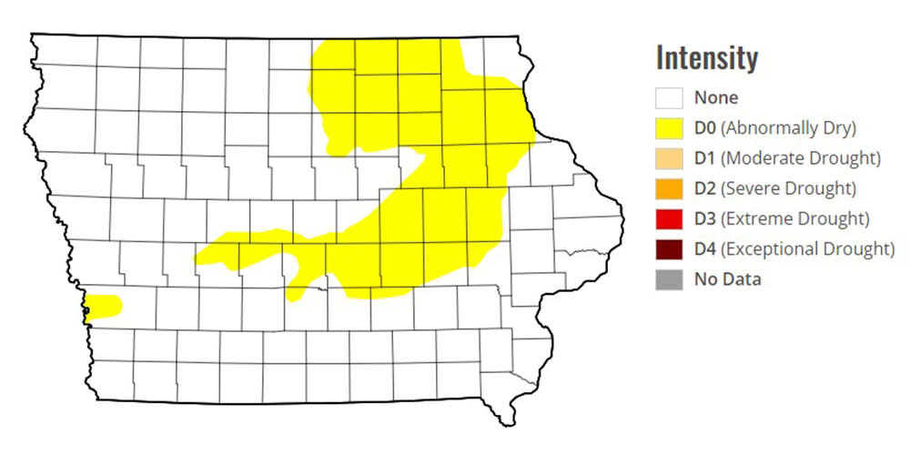
News about Iowa, drought, heavy rainfall
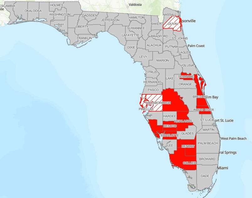
News about Florida, drought-resistant, Barcelona
Also in the news
Apr 3, 2024 · Learn what a drought is, how it affects people and the environment, and why it is important to conserve water. Find out the causes, effects, and examples of droughts around the world.
A drought is a period of drier-than-normal conditions. [1] : 1157 A drought can last for days, months or years. Drought often has large impacts on the ecosystems and agriculture of affected regions, and causes harm to the local economy.
Find out the location and intensity of drought across the country with the U.S. Drought Monitor, a weekly map updated by experts. Explore interactive maps, statistics, time series, animations, and more resources related to drought.
2 days ago · Find out the current and forecasted drought conditions across the U.S. and Puerto Rico, based on data from the U.S. Drought Monitor and NOAA. See maps, charts, and tables of precipitation, temperature, soil moisture, and drought outlooks.
Learn about drought, a slow-onset disaster that affects millions of people globally and threatens health, agriculture, economies and the environment. Find out how WHO responds to drought emergencies and supports countries to prepare for and adapt to climate change.


