Search results
Cast
Episode Guide
- 1. Pilot Jun 20, 2005
- A ranch family gives a troubled teenager (Genevieve Cortese) a second chance at life.
- 2. Trust Jun 27, 2005
- Kris is released from the juvenile detention center and readjusts to life on the ranch.
- 3. Mothers Jul 11, 2005
- Kris' mother pays a surprise visit to the ranch; Dani becomes involved with a bookie.
This map contains live feed sources for US current wildfire locations and perimeters, VIIRS and MODIS hot spots, wildfire conditions / red flag warnings, and wildfire potential. Each of these layers provides insight into where a fire is located, its intensity and the surrounding areas susceptibility to wildfire.
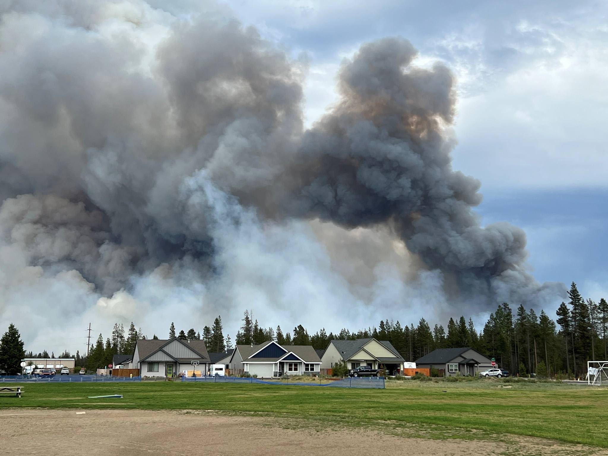
News about Oregon, wildfire, evacuations
News about New Mexico, Ruidoso, price gouging
The AirNow Fire and Smoke Map provides information that you can use to help protect your health from wildfire smoke. Use this map to see: Current particle pollution air quality information for your location; Fire locations and smoke plumes; Smoke Forecast Outlooks, where available; and, Recommendations for actions to take to protect yourself ...
Oct 13, 2023 · Nationwide, there are currently 15 uncontained large fires being fully suppressed, and 21 being managed under strategies other than full suppression. Approximately 6,400 wildland firefighters and support personnel are assigned to incidents across the country.
Aug 22, 2022 · Daily Summary. Updated June 26. One fire in Northern California immediately prompted evacuations. Another destroyed buildings. Another in New Mexico became deadly. With the traditional fire...
Mar 1, 2024 · The deadly wildfires in Texas, the largest in the state’s history and which are now spreading into Oklahoma, cover an area nearly the size of Delaware’s land. The most massive of the blazes ...
Jul 27, 2022 · See where wildfires are in the United States with this map that is updated daily. Track wildfires blazing in California, Alaska and other states as temperatures rise.
Large fires on InciWeb have information about the wildfire, news, and announcements, contact information and hours of operation, maps, photographs, and videos. This site is updated regularly and is the best place to find current fire information for ongoing wildfires.


