Search results
1 day ago · Weather.gov > Satellite Images GeoColor: GOES East Geocolor is a multispectral product composed of True Color (using a simulated green component) during the daytime, and an Infrared product that uses bands 7 and 13 at night.
View LIVE satellite images, rain radar, forecast maps of wind, temperature for your location. Zoom Earth is an interactive weather map of the world. Explore the current weather and see forecasts for your location through interactive maps of rain, wind, temperature, pressure, and more.
People also ask
What is interactive weather satellite imagery?
Where can I find weather satellite imagery?
What does a weather satellite see?
What does a satellite image of the United States show?
Wind. Pressure. UTC. mph. mb. Near real-time global weather satellite images. Updated every 10 minutes across the US.
Interactively zoom and animate weather satellite images from a variety of geostationary satellites. Features of this site include: sectoring, animation of global images and at high resolution for a region of interest. You may also obtain gif and jpeg images from our ftp data server.
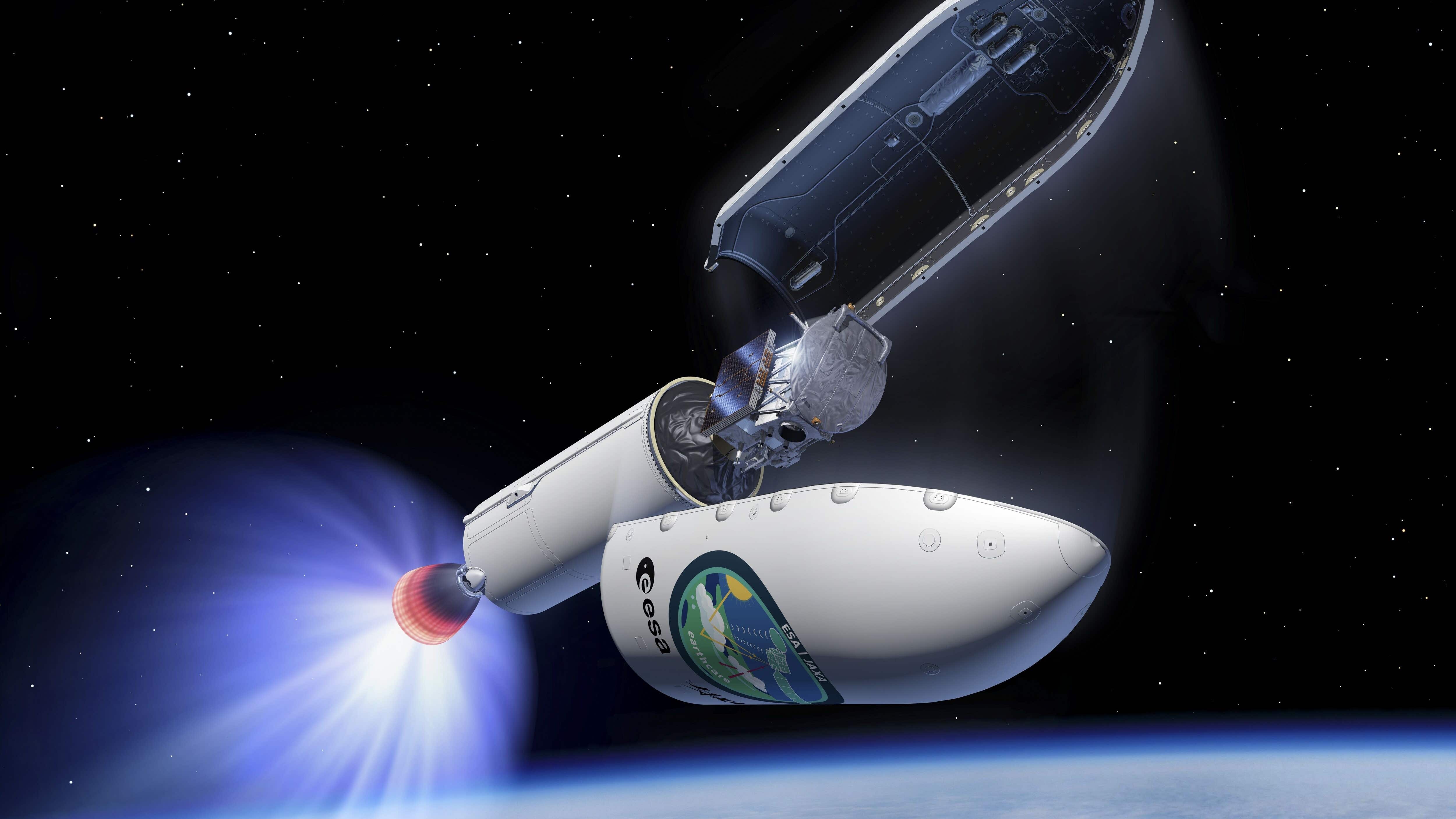
News about EarthCARE, SpaceX, satellite
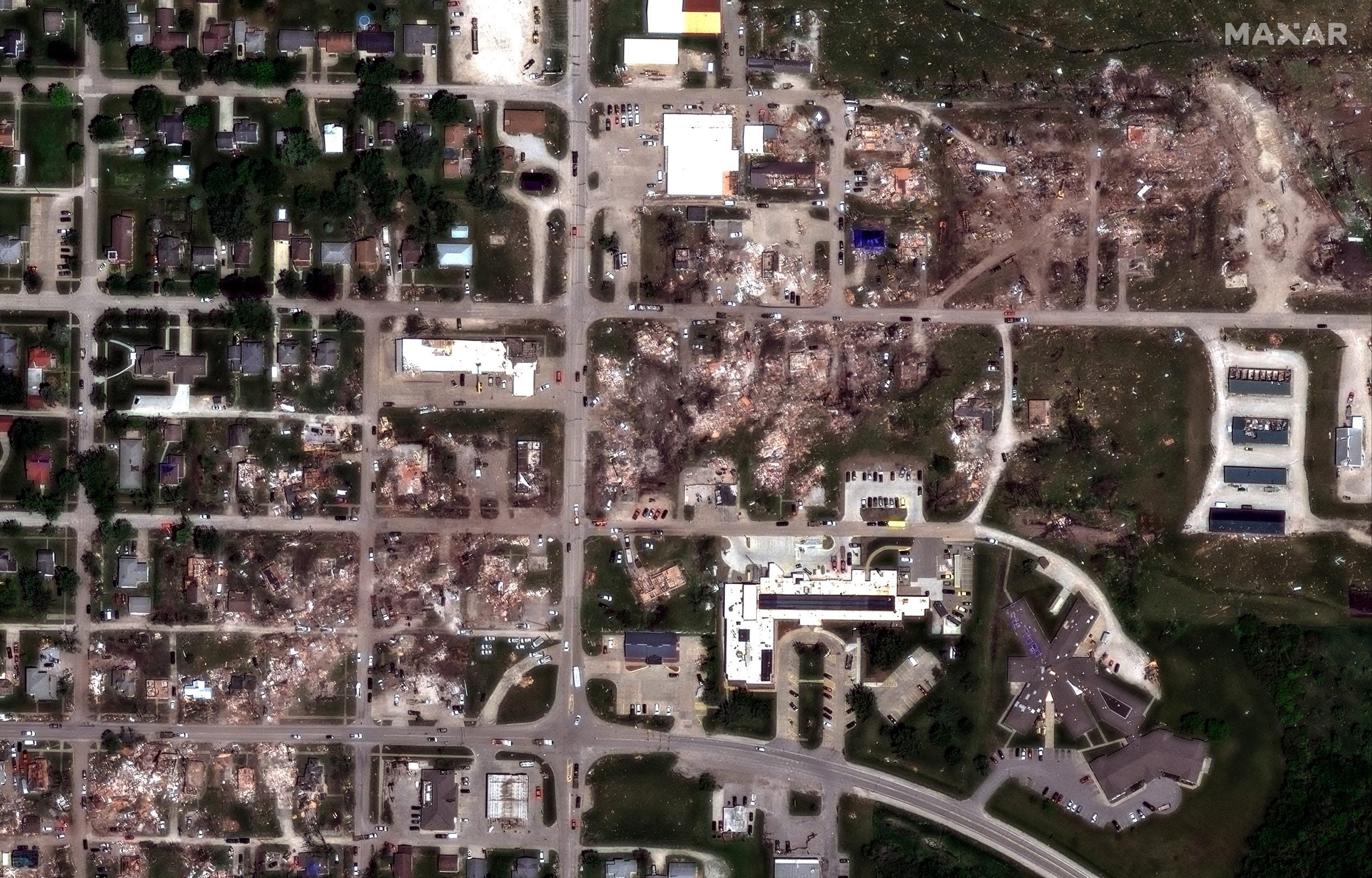
News about Greenfield, satellite image, Iowa
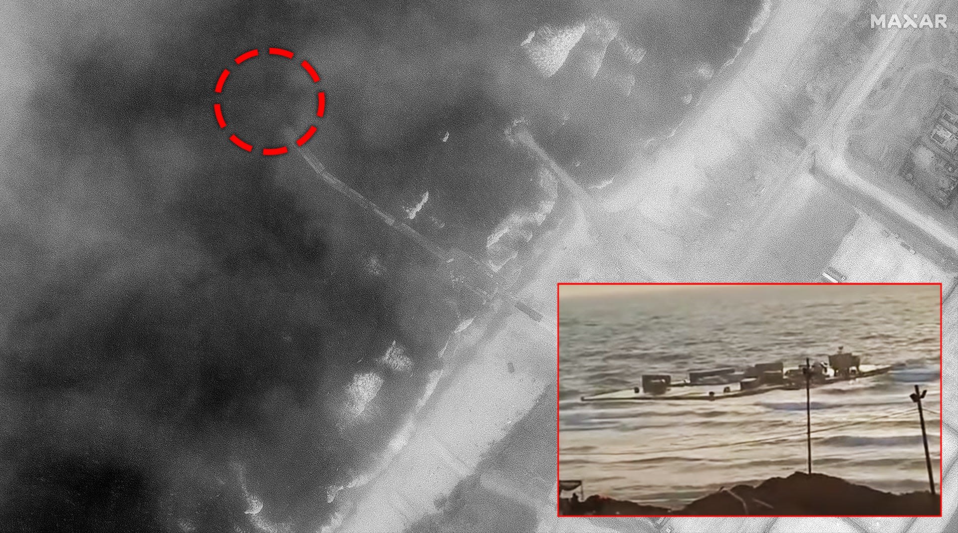
Also in the news
Feb 9, 2011 · Home > Satellite. This shows the most recent image of the United States, taken from a NOAA satellite. This image is taken in the infrared band of light and show relative warmth of objects. Colder objects are brighter and warmer objects are darker. Lower layers of clouds, generally warmer and lower in altitude, are colored gray.
May 16, 2024 · Welcome to our new Earth imagery streams, which give the view from the Meteosat weather satellites 36,000km above the Earth. We have views over the Atlantic and Indian Oceans and these are updated every 15 minutes as new imagery is received.
Jun 28, 2023 · SATELLITE IMAGERY. Zoom Earth shows weather maps with near real-time satellite imagery. Images are updated every 10 minutes, with a delay between 20 and 40 minutes. Live satellite...
