Search results
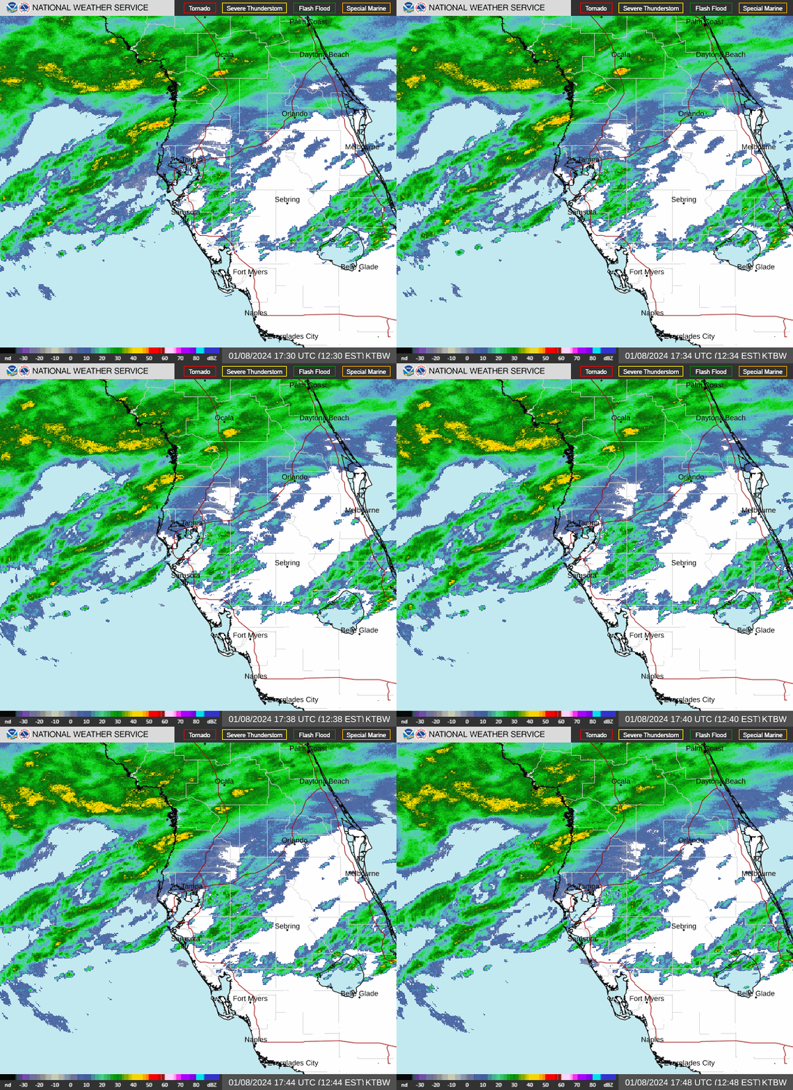
The NWS Radar site displays the radar on a map along with forecast and alerts. The radar products are also available as OGC compliant services to use in your application. Enhanced Radar Standard Radar (Low-Bandwidth)
See the latest United States Doppler radar weather map including areas of rain, snow and ice. Our interactive map allows you to see the local & national weather.
High-resolution predictive weather radar. Animate the interactive future radar forecast in motion for the next 12 to 72 hours.
Surface Analysis. Highs, lows, fronts, troughs, outflow boundaries, squall lines, drylines for much of North America, the Western Atlantic and Eastern Pacific oceans, and the Gulf of Mexico. Standard Size | High Resolution. Temperature. Maximum daytime or minimum overnight temperature in degrees Fahrenheit. Predominant Weather.
News about Florida, Lee County, flooding
National Weather Service. Location Help. Additional Flooding Possible from Excessive Rainfall in Florida; Severe Thunderstorms Tuesday in the Upper Midwest. Heavy to excessive rainfall over southern Florida may continue to bring areas of flash and urban flooding, with locally considerable urban flooding possible, at times into this weekend.
The Current Radar map shows areas of current precipitation. A weather radar is used to locate precipitation, calculate its motion, estimate its type (rain, snow, hail, etc.), and forecast its...
Today. Hourly. 10 Day. Radar. Video. All Stories and Videos. June Outlook: Hotter Than Average Coast To Coast. 11 hours ago. Expect a warmer start to summer, but there could be some changes...


