Search results
This web map shows live feed sources for US current wildfire locations and perimeters, hot spots, wind data, and red flag warnings. It also provides insight into wildfire conditions and potential based on satellite and weather data.
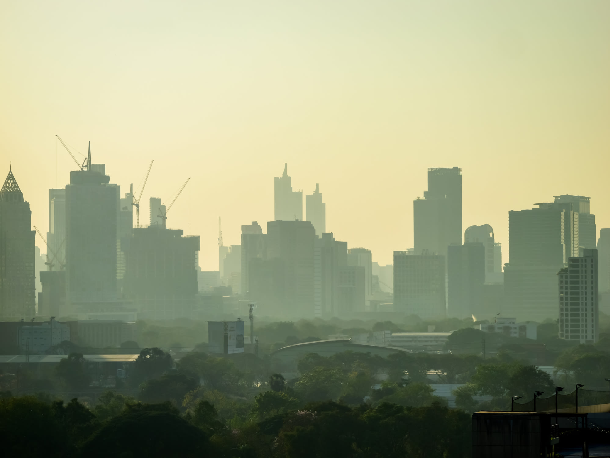
View fire and smoke conditions near your location or search for a specific place. See the air quality index (AQI) and the legend for different levels of pollution.
Access maps of current and historical wildland fire perimeters, weather, and detections from the National Interagency Fire Center. Find links to Wildland Fire Open Data, Enterprise GeoSpatial Portal, and other resources.
News about wildfires, Arizona, New Mexico
News about Hawaiian Electric, HECO, Las Vegas
Also in the news
View near real-time fire data from MODIS and VIIRS satellites for US and Canada. Fire data has limited accuracy and may be from various sources, not only wildfires.
The National Fire Situational Awareness (NFSA) map provides a dynamic and interactive view of current fire activity and conditions across the country. Users can access data on fire perimeters, weather, smoke, air quality, and more. NFSA is a useful tool for fire managers, responders, and the public to monitor and understand fire situations.
Get real-time updates on wildfires, smoke, and lightning strikes across the United States with Map of Fire. Monitor the spread and intensity of wildfires, track smoke dispersion, and stay alert to lightning activity.
People also ask
What is a wildfire map?
What is map of fire?
Where can I find information about wildland fires?
Where can I find a map of a large fire?


