Search results
News about Wisconsin, tornado warnings, counties
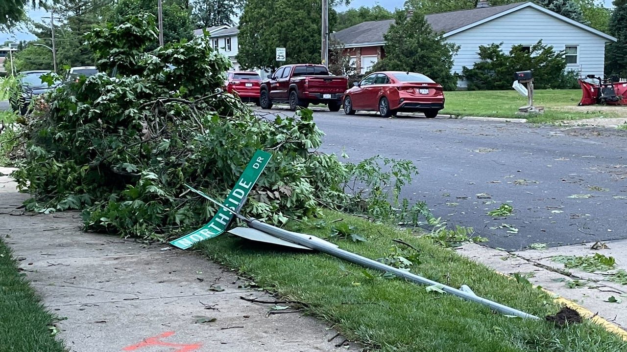
News about Milton, Evansville, tree damage
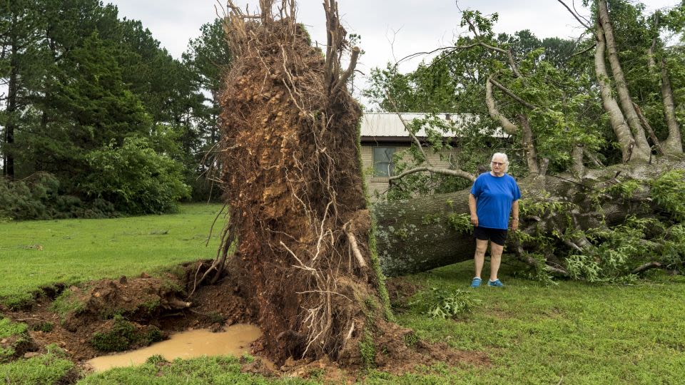
News about Texas, Memorial Day weekend, Oklahoma
Also in the news
The National Warning System (NAWAS) is an automated telephone system used to convey warnings to United States-based federal, state and local governments, as well as the military and civilian population. The original mission of NAWAS was to warn of an imminent enemy attack or an actual accidental missile launch upon the United States.
2 days ago · Several strong to violent tornadoes, extreme hail, and corridors of widespread wind damage are forecast over parts of the central and southern Plains from late Saturday afternoon into the night. For additional details, see the latest Day 2 Convective Outlook.
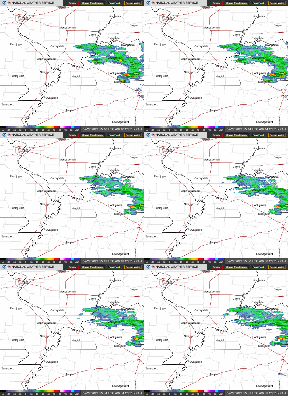
Quick Guide. This site is organized into views that provide relevant radar products and weather information for a common task or goal. Radar station products. This view provides specific radar products for a selected radar station and storm based alerts. National radar mosaic.
National Weather Service Home page. The starting point for official government weather forecasts, warnings, meteorological products for forecasting the weather, and information about meteorology.
Apr 20, 2010 · Home > 24 Hour Watch/Warning/Advisory Loop. This loop displays watches, warnings and advisories issued by the National Weather Service during the past 24 hours. One map per hour is displayed. Please note that some watches, warnings and advisories might be in effect for less then an hour.
National Weather Maps. Surface Analysis. Highs, lows, fronts, troughs, outflow boundaries, squall lines, drylines for much of North America, the Western Atlantic and Eastern Pacific oceans, and the Gulf of Mexico.
The NWS Alerts site provides watches, warnings, advisories, and similar products. Visit NWS Common Alerting Protocol for CAP v1.2 for updated documentation. It is recommended to start by selecting your location. Selecting search without a location will assume all locations.
