Search results
Know what California fires threaten your property based on your home address, The Frontline App shows you a “fires in California right now map” so you have pinpoint detail on fire threats. The app also sends proactive wildfire notifications, including new fire alerts, red flag warnings, fire weather watches, lightning events, wildfire ...
If you would like to obtain information about a CAL FIRE fire burning in your area that is not included on this web site, please contact the CAL FIRE Unit that services your county. Ongoing emergency responses in California, including all 10+ acre wildfires.
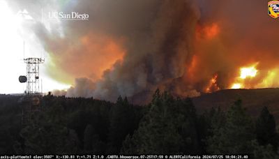
21 hours ago · Here’s the latest: • Park Fire roars across parts of Butte and Tehama counties, north of Sacramento, California: As of Friday evening, the Park Fire has burned more than 239,000 acres, or ...
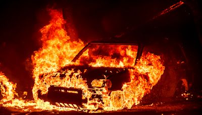
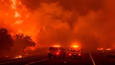
16 hours ago · Seen in a long exposure photograph, the Park Fire burns along Highway 32 in the Forest Ranch community of Butte County, Calif., on Thursday, July 25, 2024. California's largest active fire ...
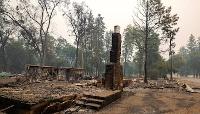
1 day ago · July 26, 2024. An enormous wildfire in Northern California has destroyed buildings, left at least two people injured and prompted evacuation orders for thousands of people as it raged in the ...
20 hours ago · Crews struggle to contain monster wildfire in California 03:04. The Park Fire, one of many wildfires raging in Northern California, grew from a small brush fire in Chico to the largest blaze in ...
FIRMS Fire Map allows you to interactively browse the full archive of global active fire detections from MODIS and VIIRS. Near real-time fire data are available within approximately 3 hours of satellite overpass and imagery within 4-5 hours.
1 day ago · However, the total acreage burned as of Thursday morning – 3,633,567 – is almost 300,000 acres more than the 3,350,598 year-to-date average. In California, wildfires have scorched more than ...
Stay informed with real-time updates on wildfire incidents in California. Access interactive maps, safety tips, and resources to stay safe with Ready For Wildfire.
Dec 26, 2017 · As of Wednesday, Dec. 13, over 21,000 acres have been burned by the Thomas, Creek, Rye, Skirball, Lilac and Liberty fires. Most of the blazes are close to 100% contained, except for the Thomas ...


