Search results
Feb 25, 2021 · The outline map above is of Croatia, a country occupying an area of 56,594 km 2 (21,851 sq mi) in Europe. The map shows mainland Croatian territory along with its numerous islands on the Adriatic Sea.
Croatia is situated in Central and Southeast Europe, on the coast of the Adriatic Sea. Hungary is to the northeast, Serbia to the east, Bosnia and Herzegovina and Montenegro to the southeast and Slovenia to the northwest.
2 days ago · Croatia, country located in the northwestern part of the Balkan Peninsula. It is a small yet highly geographically diverse crescent-shaped country. Its capital is Zagreb, located in the north. The walled old city of Dubrovnik, Croatia, on the Adriatic Sea.
Croatia is a Mediterranean country in Southeastern Europe, and is a part of the Balkans. Mapcarta, the open map.
News about Croatia, Montenegro, EU
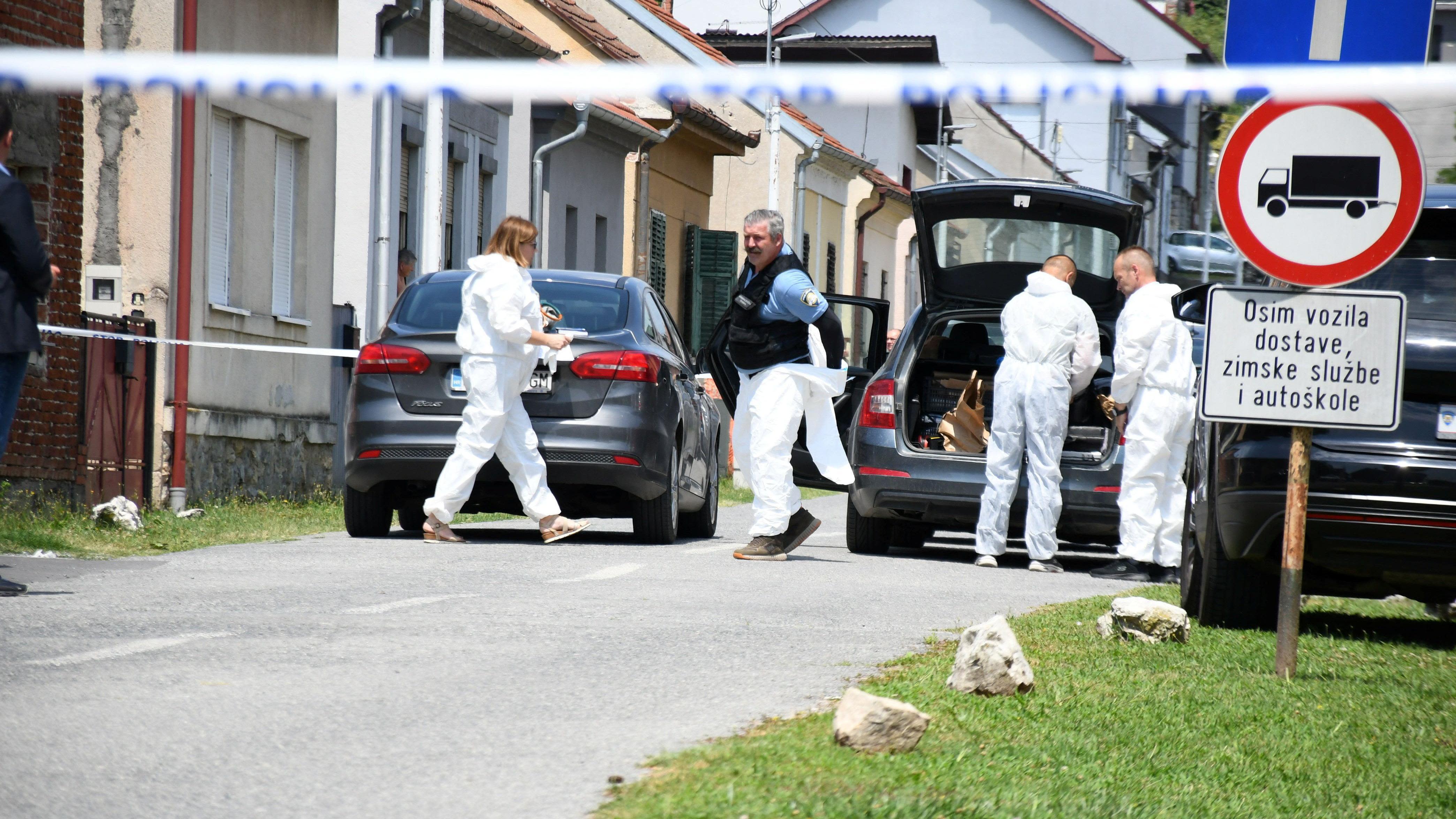
News about Croatia, mass shooting, care home
News about Jakub Mensik, Croatia Open Umag, odds
The geography of Croatia is defined by its location—it is described as located at the crossroads of Central Europe and Southeast Europe, a part of the Balkans and Southern Europe. Croatia's territory covers 56,594 km 2 (21,851 sq mi), making it the 127th largest country in the world.
Jan 10, 2024 · Situated in southeastern Europe, Croatia occupies a prime location along the eastern coast of the Adriatic Sea. Positioned between Slovenia in the northwest, Hungary in the northeast, Serbia in the east, Bosnia and Herzegovina in the southeast, and Montenegro to the southeast, Croatia boasts a strategic geographical positioning that contributes ...
Croatia is a country in southeastern Europe on the Balkan Peninsula, formerly one of the constituent republics of Yugoslavia. The country is bordered in south west by the Adriatic Sea, which is the northernmost arm of the Mediterranean Sea.
On the map of Europe, Croatia is bordered by Slovenia to the north, Hungary to the northeast, Serbia to the east, Bosnia and Herzegovina to the southeast, and Montenegro to the south. The capital city is Zagreb, which is located in the northern central part of the country.
The Political Map of Croatia illustrates the surrounding countries, 20 counties’ boundaries with their capitals, and the national capital. The Republic of Croatia is a country in Europe, on the eastern edge of the Adriatic Sea.
Jan 3, 2023 · The Political Map of Croatia illustrates the surrounding countries, 20 counties' boundaries with their capitals, and the national capital. The Republic of Croatia is a country in Europe, on the eastern edge of the Adriatic Sea.


