Search results
News about Mexico, bird flu, World Health Organization
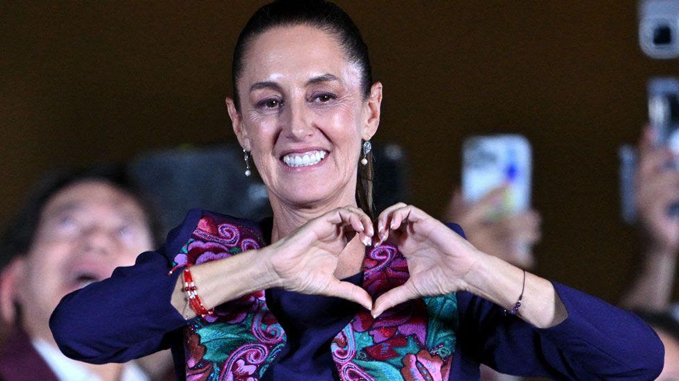
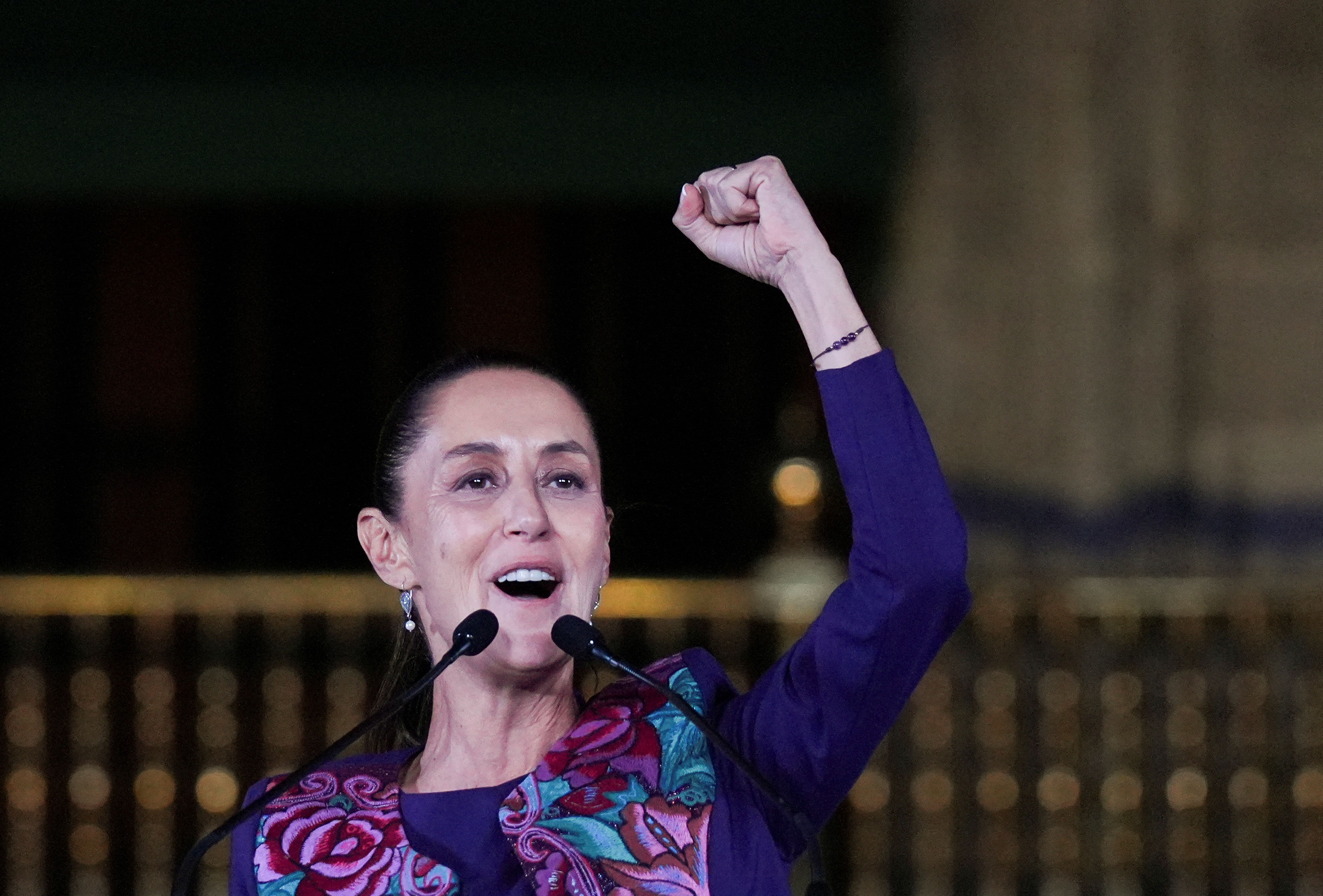
News about Mexico, election, female president
News about Mexico, President-elect Claudia Sheinbaum, gender violence
Also in the news
The states are the first-level administrative divisions of Mexico, which is officially named the United Mexican States. There are 32 federal entities in Mexico (31 states and the capital, Mexico City, as a separate entity that is not formally a state). States are further divided into municipalities.
This is a list of the Top 100 cities in Mexico by fixed population, according to the 2020 Mexican National Census. According to Mexico's National Institute of Statistics and Geography (INEGI), a locality is "any place settled with one or more dwellings, which may or may not be inhabited, and which is known by a name given by law or tradition".
This is an alphabetically ordered list of cities and towns in Mexico, arranged by state. ( See also city; urban planning .)
Feb 19, 2024 · Mexico is a federal republic comprised of 32 federal entities: 31 states and one federal district, known as Mexico City, which serves as the country’s capital and seat of government. The division of Mexico into states is similar to the way the United States is divided, with each state having a significant degree of autonomy in its internal ...
Dec 6, 2023 · Main sights in Mexico: Chichén Itzá, Teotihuacan, Cabo San Lucas, Mexico City Metropolitan Cathedral, Zócalo, Guanajuato, Cozumel, Tulum, Ixtapa, Guadalajara, Palenque, Acapulco, Playa del Carmen, Copper Canyon, Cancun, Puerto Vallarta.
This is a list of cities in Mexico with a population over 100,000. 1 – Mexico City. 2 - Ecatepec de Morelos. 6 – León, Guanajuato. 10 - Nezahualcóyotl, State of Mexico. 11 - Mexicali, Baja California. 12 - Culiacan, Sinaloa. 13 - Naucalpan de Juárez. 14 - Mérida, Yucatán. 15 – Toluca, State of Mexico. 16 - Chihuahua, Chihuahua.
Jul 25, 2023 · Physical map of Mexico showing major cities, terrain, national parks, rivers, and surrounding countries with international borders and outline maps. Key facts about Mexico.
Dec 6, 2023 · Large detailed map of Mexico with cities and towns. This map shows states, cities and towns in Mexico. You may download, print or use the above map for educational, personal and non-commercial purposes. Attribution is required.
Mexico states and capitals interactive map
The country comprises 31 states and the capital district of Mexico City. Mexico is bordered to the north by the US states of California and Texas, to the southeast by Guatemala and Belize, and to the east by the Gulf of Mexico and the Caribbean Sea. Map of Mexico. Political Map of Mexico.


