Search results
News about National Hurricane Center, tropical wave, tropical depression
News about Saharan dust, hurricane season, tropical storms
Also in the news
4 days ago · National Hurricane Center. Top News of the Day... view past news. Last update Tue, 30 Jul 2024 08:11:26 UTC. Why Tropical Cyclone Size Matters: A Comparison of Hurricanes Charley (2004) & Ian (2022) Central Pacific. Eastern Pacific.
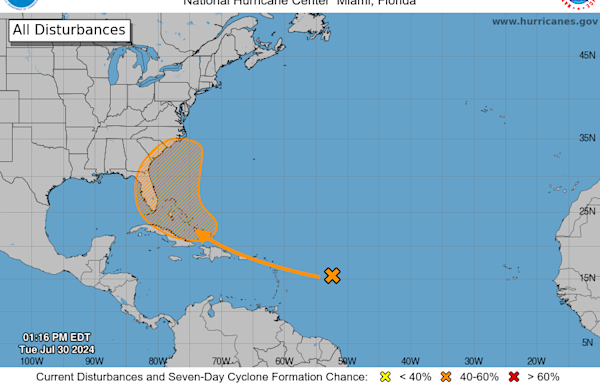
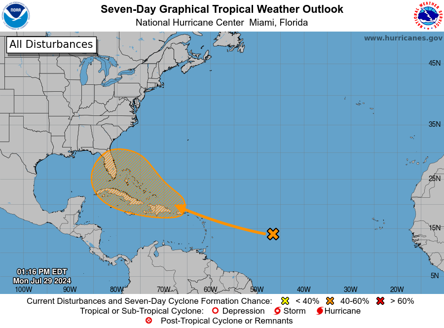
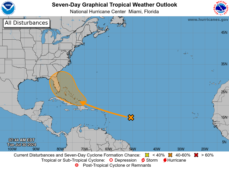
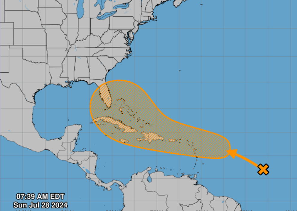
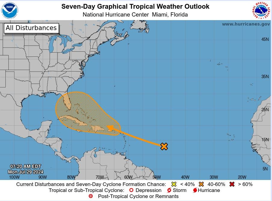
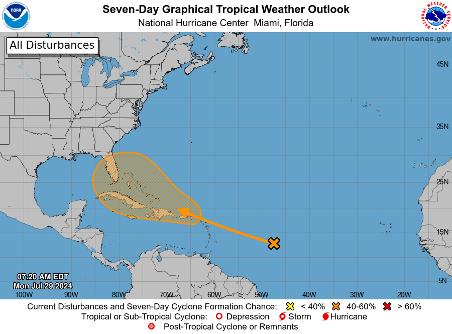
Tropical Weather Outlook. NWS National Hurricane Center Miami FL. 200 AM EDT Mon Jul 29 2024. For the North Atlantic...Caribbean Sea and the Gulf of Mexico: 1. Near the Leeward Islands and Greater Antilles: An area of disturbed weather over the central tropical Atlantic.
Latest Satellite Imagery. Satellite | Radar | Aircraft Recon | GIS Data | Analysis Tools. Unless otherwise noted, the images linked from this page are located on servers at the Satellite Products and Services Division (SPSD) of the National Environmental Satellite, Data, and Information Service (NESDIS). Please direct all questions and comments ...
Jul 23, 2024 · National Hurricane Center. Full Site. Last update: Mon, 29 Jul 2024 22:57:09 UTC . Atlantic - Caribbean - Gulf of Mexico. ... NHC Mobile | NHC Full Site NWS Mobile | NWS Full Site NWS Local Forecast for Smartphones Feedback: NHCwebmaster@noaa.gov. This information is provided as a public service from the
The National Hurricane Center reported sustained winds of 69 mph at 0115 UTC August 26 with a gust to 87 mph. Additionally, tropical storm conditions occurred along the northern Gulf coast as far east as the coast of the western Florida Panhandle, as well as in the Florida Keys.
5 days ago · About this product: This graphic shows an approximate representation of coastal areas under a hurricane warning (red), hurricane watch (pink), tropical storm warning (blue) and tropical storm watch (yellow). The orange circle indicates the current position of the center of the tropical cyclone. The black line, when selected, and dots show the ...
Jun 11, 2021 · The National Hurricane Center and Central Pacific Hurricane Center's Tropical Cyclone Reports (TCRs) contain information on all tropical (and subtropical) cyclones that have occurred within the Atlantic, eastern Pacific, and central Pacific basins, including synoptic history, meteorological statistics, casualties and damages, and the post ...
This national depiction of storm surge flooding vulnerability helps people living in hurricane-prone coastal areas. These maps make it clear that storm surge is not just a beachfront problem, with the risk of storm surge extending many miles inland from the immediate coastline in some areas.
Apr 26, 2024 · The National Hurricane Center's Tropical Cyclone Reports (formerly called Preliminary Reports) contain comprehensive information on each storm, including synoptic history, meteorological statistics, casualties and damages, and the post-analysis best track (six-hourly positions and intensities).
Jul 13, 2023 · NOAA’s National Hurricane Center — a division of the National Weather Service — has a new model to help produce hurricane forecasts this season. The Hurricane Analysis and Forecast System (HAFS) was put into operations on June 27 and will run alongside existing models for the 2023 season before replacing them as NOAA&r.
