Search results
Jan 17, 2024 · Severe Weather Database Files (1950-2022) The tables below provide the links to comma separated value (.csv) files for tornadoes, hail, and damaging wind, as compiled from NWS Storm Data. Tornado reports exist back to 1950 while hail and damaging wind events date from 1955. The full hail and wind datasets are very large.
- Spc Average Number of Tornadoes Per State by Month
25-Year Average Number of Tornadoes per State by Month (All...
- Enso Strength
Bi-monthly Tornado Counts and ENSO Phase Strength; The...
- Spc Annual Tornado Maps 1952-2011
U.S. Annual Tornado Maps (1952-2011) Mouse over image to see...
- Inflation Adjusted Tornado Running Totals
Severe weather, tornado, thunderstorm, fire weather, storm...
- U.S.
U.S. Monthly Tornado Summary Charts 1950-2010 (F1 to F5...
- Spc Average Number of Tornadoes Per State by Month
The severe weather watches and warnings depicted in this map are derived from official government sources. Latest in Severe Weather. Powerhouse storm to unleash severe weather,...
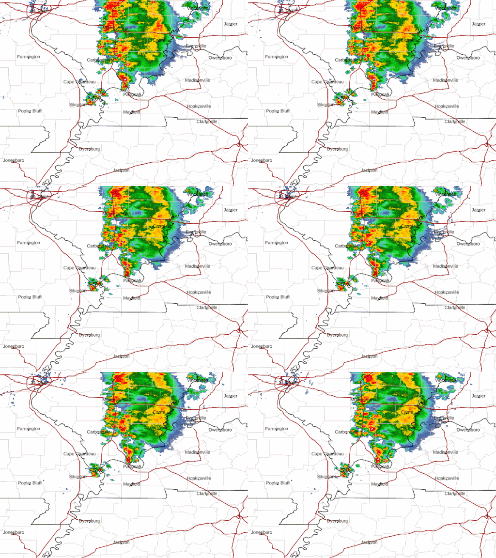
See the latest Illinois Doppler radar weather map including areas of rain, snow and ice. Our interactive map allows you to see the local & national weather
See Illinois current conditions with our interactive weather map. Providing your local temperature, and the temperatures for the surrounding areas, locally and nationally.
- Gannett via Yahoo
Damage reported as severe storms roll through Tri-State on Sunday night
To report an electrical outage...outage info by clicking here. 6:53 p.m.: National Weather Service issues tornado watch for Tri-State A tornado watch has been issued for parts of Illinois, Indiana ...
4 days ago
- Quad-City Times
Quad-Cities weather updates: Q-C under severe thunderstorm watch until 9 p.m.
The Quad-Cities and portions of Illinois and Iowa are under a severe thunderstorm watch until 9 p.m., according to NWS QC. Most...MidAmerican customers without power as of 3:40 p.m. according ...
6 days ago
The highest chances of severe weather will occur with the front as it moves across western portions of central Illinois late this evening. Damaging wind gusts will be possible along with isolated tornadoes. The front is expected to move into western Illinois around 8 pm and exit into Indiana by 2 am.
12 hours ago · Click a location below for detailed forecast. Last Map Update: Wed, May. 29, 2024 at 8:59:33 pm CDT. Watches, Warnings & Advisories. Zoom. Out. Flood Warning. Beach Hazards Statement. Hazardous Weather Outlook.
County Maps. Hail. Wind. More Info. Statistics. For more on the Enhanced Fujita Scale for tornado damage, visit here.

