Search results
Eyes on the Earth. Fly along with NASA's Earth science missions in real-time, monitor Earth's vital signs like Carbon Dioxide, Ozone and Sea Level, and see satellite imagery of the latest major weather events, all in an immersive, 3D environment.
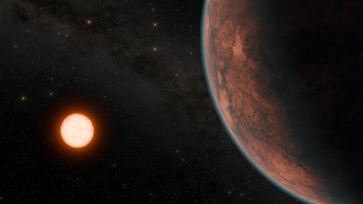
News about exoplanet, NASA, Gliese 12 b
News about NASA, SpaceX, Falcon 9
Also in the news
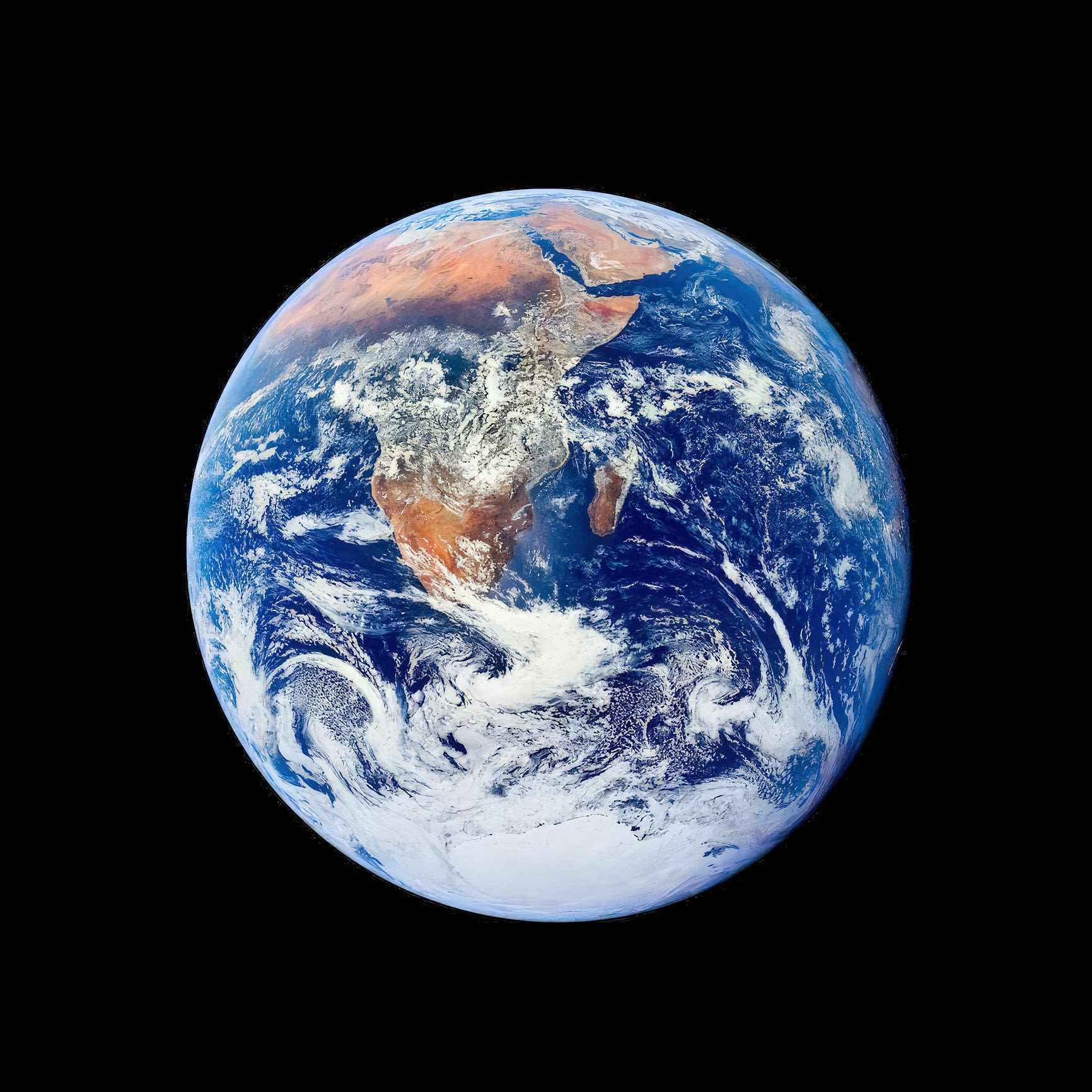
While Earth is only the fifth largest planet in the solar system, it is the only world in our solar system with liquid water on the surface. Just slightly larger than nearby Venus, Earth is the biggest of the four planets closest to the Sun, all of which are made of rock and metal.
Whether started by humans (farming, logging, or accidents) or by nature (lightning), fires are always burning somewhere on Earth. These maps show the locations of fires burning around the world each month. Land. Global Maps Jul 2002 — Sep 2023.
climate change, global climate change, global warming, natural hazards, Earth, environment, remote sensing, atmosphere, land processes, oceans, volcanoes, land cover, Earth science data, NASA, environmental processes, Blue Marble, global maps.
May 14, 2024 · NASA's Visible Earth catalog of NASA images and animations of our home planet
NASA’s newest Earth science satellite captured a striking image of swirling bands of phytoplankton. Published May 8, 2024. Image of the Day Water
NASA's Earth Observatory brings you the Earth, every day. They share with the public the images, stories, and discoveries about the environment, Earth systems, and climate that emerge from NASA research, including its satellite missions, in-the-field research, and models.


