Search results
- FOX 5 San Diego
Earthquakes rattle Southern California over the weekend
Three different earthquakes struck in Southern California over the weekend. Did you feel them?
6 hours ago
- CNN via Yahoo
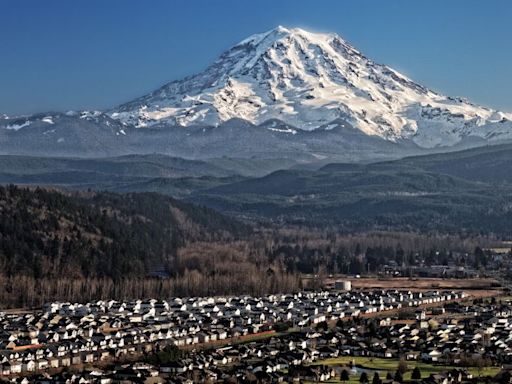
Why Mount Rainier is the US volcano keeping scientists up at night
Scientists fear Washington’s Mount Rainier could trigger a swift debris flow caused by melting snow and ice. An event could endanger nearby populated areas.
19 hours ago
Most Recent Earthquakes Worldwide
earthquake.usgs.govMagnitudeLocationTimeM52 days agoM52 days agoM5.12 days agoM5.22 days agoM5.52 days agoM5.12 days agoM53 days agoM53 days agoEarthquakes. All lists include most worldwide events magnitude 4.5 and greater, read more. REFRESH EARTHQUAKES
Sep 19, 2022 · The Latest Earthquake web application displays information in real-time and near-real-time for magnitude 2.5+ earthquakes in the U.S. and magnitude 4.5+ earthquakes around the world. This interactive tool allows you to view a list and map of earthquakes and to fine-tune the display with various settings. Each earthquake on the list and map is a ...
Information by state, and world seismicity maps. Links to earthquake-related information for each state. Find recent or historic earthquakes, lists, information on selected significant earthquakes, earthquake resources by state, or find webservices.
Earthquakes. All lists include most worldwide events magnitude 4.5 and greater, read more. REFRESH EARTHQUAKES
Interactive fault map and comprehensive geologically based information on known or suspected active faults and folds in the United States. Also, generalized fault data used in the hazard maps.
The USGS Latest Earthquakes map and lists show events that have been located by the USGS and contributing agencies within the last 30 days.
Apr 11, 2024 · Find an earthquake or a list of earthquakes by time window, magnitude, area, and more, and choose the output format - map and list, CVS, and others.
WaterWatch displays maps, graphs, and tables describing real-time, recent, and past streamflow conditions for the United States, including flood and droughts. Real-time information generally is updated on an hourly basis.
Explore our real-time map showing quakes detected within the past week! Legend Earthquakes are shown as circles sized by magnitude (red, < 1 hour; blue, < 1 day, yellow, < 1 week).
Jun 7, 2024 · ShakeMap. ShakeMap is a product of the USGS Earthquake Hazards Program in conjunction with the regional seismic networks. ShakeMaps provide near-real-time maps of ground motion and shaking intensity following significant earthquakes. These maps are used by federal, state, and local organizations, both public and private, for post-earthquake ...

