Search results
Aug 1, 2023 · Explore the geography, history, and culture of Ireland with various maps and facts. Find out where Ireland is located, what regions and counties it has, and what its capital and largest city are.
- Dublin
- 70,273.00 km 2
- 68,883.00 km 2
- 1,390.00 km 2
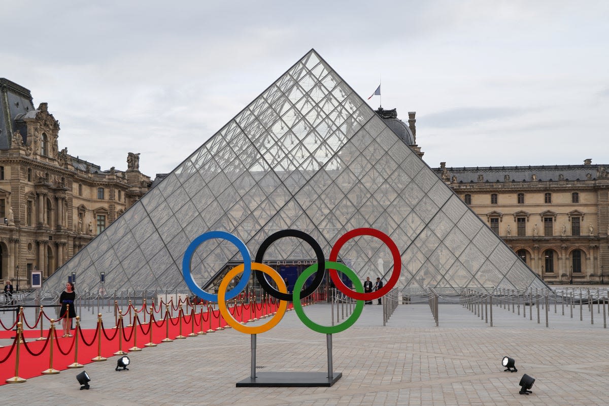
News about Ireland, Paris 2024, rugby sevens
News about Ireland, Zimbabwe, Test match
Also in the news
Jan 23, 2024 · Explore the Republic of Ireland with various maps, including political, physical, road, and tourist maps. Learn about the country's geography, history, culture, and attractions.
- 27,133 sq mi (70,273 sq km)
- Irish, English
- Dublin
- ~ 5,300,000
Ireland ( / ˈaɪərlənd / ⓘ IRE-lənd; Irish: Éire [ˈeːɾʲə] ⓘ; Ulster-Scots: Airlann [ˈɑːrlən]) is an island in the North Atlantic Ocean, in north-western Europe. It is separated from Great Britain to its east by the North Channel, the Irish Sea, and St George's Channel.
Find local businesses, view maps and get driving directions in Google Maps.
Jan 19, 2024 · Find cities, towns, highways, roads, railroads and airports in Ireland on this map. You can download, print or use the map for educational, personal and non-commercial purposes with attribution.
Ireland, also known as the Republic of Ireland, has a rich culture that, along with its people, has been exported around the world. Mapcarta, the open map.
People also ask
What is the geography of Ireland?
Where is Ireland bounded by the Atlantic Ocean?
Where is Ireland located?
What are the regions of Ireland?
1 day ago · Ireland is a country of western Europe occupying five-sixths of the westernmost major island of the British Isles. The country is noted for a rich heritage of culture and tradition that was linked initially to the Irish language. Its capital city is Dublin.


