Search results
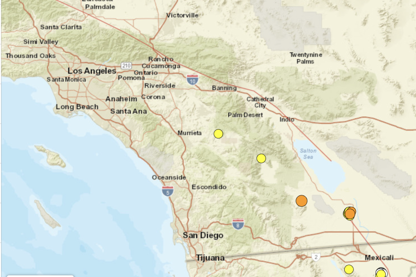
San Diego County lies in the southwestern corner of California state. It is the southwestern-most county in the contiguous United States. With an area of 4,526 square miles, it is the second most populous county in the 'Golden State' and the fifth most populous county in the US. The region was incorporated as a county on February 18, 1850.
San Diego County San Diego County is the southern-most region of Southern California.It encompasses the city of San Diego and its large metropolitan area, which includes many smaller cities and communities.
News about California-Mexico border, San Diego County, California
News about Aaron Russell, cross-border sewage crisis, San Diego
Also in the news
San Diego County is located in the southwest corner of California and the continental United States. It is the home to several large cities, including Chula Vista, Oceanside, Escondido, and Carlsbad, as well as the county seat of San Diego. The map tour highlights some of the unique characteristics of San Diego County as well as several of the ...
San Diego From balmy beaches with a laid-back attitude to a gleaming modern image, San Diego offers much for the tourist to enjoy. Situated on the Southern California seacoast, San Diego is the second largest city in the state, with 1.4 million residents, and has long attracted travelers for its ideal climate, miles of beaches, and location on the Mexican border right across from Tijuana.
San Diego County ( / ˌsæn diˈeɪɡoʊ / ⓘ ), officially the County of San Diego ( Spanish: Condado de San Diego ), is a county in the southwestern corner of the U.S. state of California. As of the 2020 census, the population was 3,298,634, [7] making it California's second-most populous county and the fifth-most populous in the United States.
Find directions, traffic, and landmarks for San Diego County, California. See the population, time zone, and nearby counties of this region.
You can use the Interactive Map to: Our interactive map contains over 33 layers covering features such as property (parcels), roads, district and municipal boundaries, and districts including schools, fire protection, cemetery and transit. Other layers include floodplains, water quality sensitive areas, MHPA, soils, vegetation and land use.


