Search results
People also ask
What is weather radar used for?
How does a weather radar map show precipitation?
What is a live weather radar map?
How does radar track a storm?
See the latest United States Doppler radar weather map including areas of rain, snow and ice. Our interactive map allows you to see the local & national weather.
- Forecast Maps
AccuWeather's Forecast map provides a 5-Day Precipitation...
- Severe Weather
AccuWeather's Severe Weather Map provides you with a bird's...
- Wind Flow
See United States current wind with our interactive Wind...
- Forecast Maps
Learn how weather radar systems emit and receive electromagnetic waves to detect and map precipitation and wind events. Explore the different types of radar bands, their strengths, weaknesses, and their role in weather forecasting.
News about Memorial Day, NYC, Maryland
News about Evansville, Oklahoma, Wisconsin
Also in the news
- Introduction
- How Doppler Radar Works
- Clear Air Mode
- Precipitation Mode
- The Dbz Scale
- Ground Clutter, Anomalous Propagation and Other False Echoes
- Base Reflectivity
- Composite Reflectivity
- Base Radial Velocity
- Determining True Wind Direction
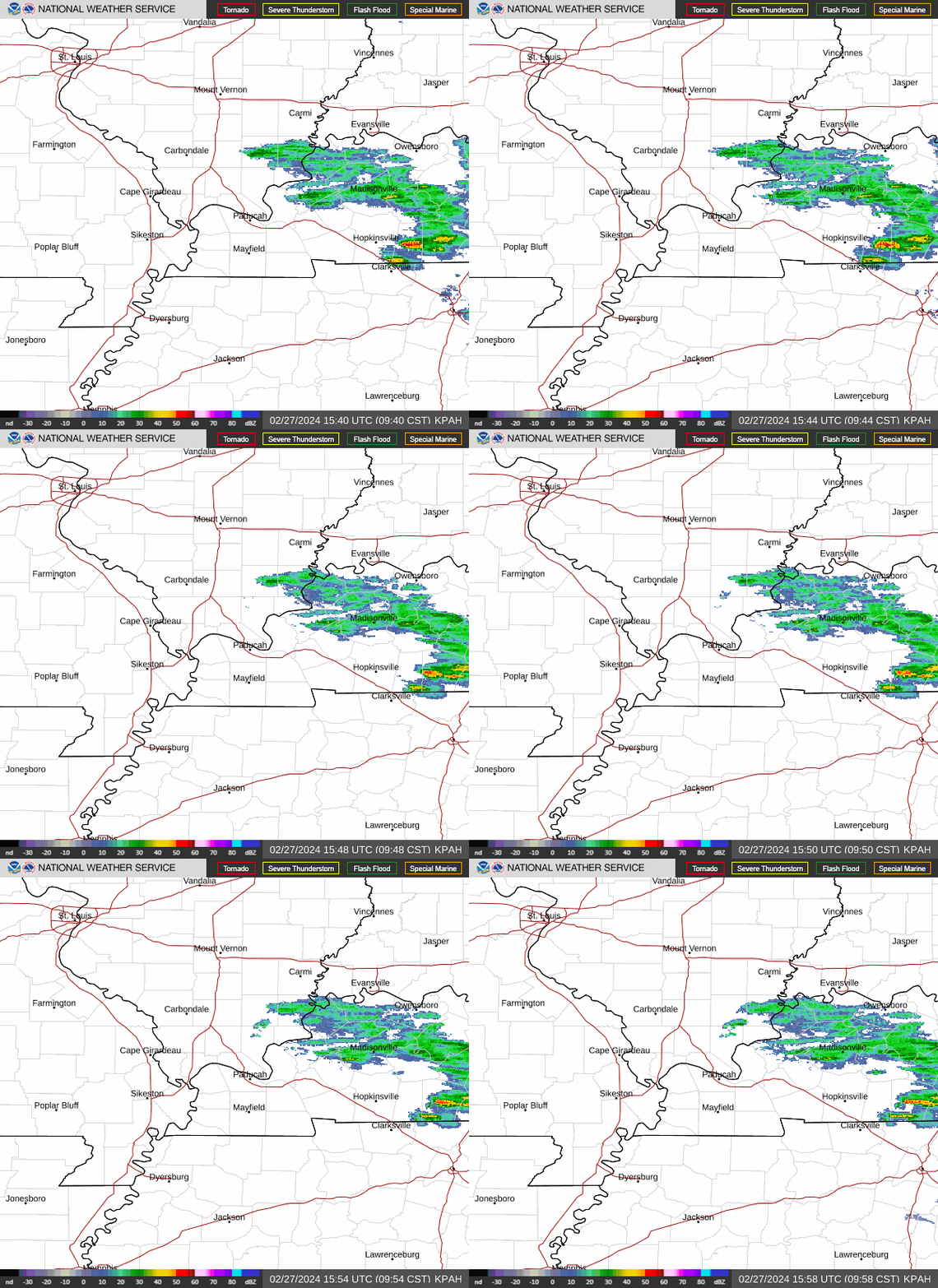
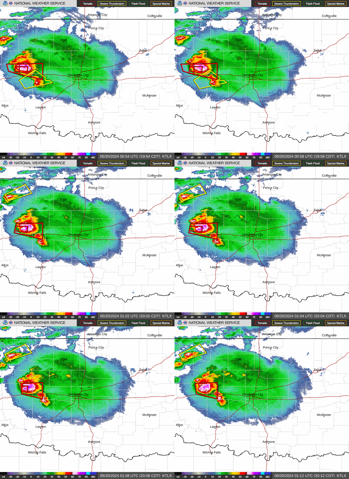
Precipitation intensity is measured by a ground-based radar that bounces radar waves off of precipitation. The Local Radar base reflectivity product is a display of echo intensity (reflectivity) measured in dBZ(decibels). "Reflectivity" is the amount of transmitted power returned to the radar receiver after hitting precipitation, compared to a refe...
NEXRAD (Next Generation Radar) can measure both precipitation and wind. The radar emits a short pulse of energy, and if the pulse strike an object (raindrop, snowflake, bug, bird, etc), the radar waves are scattered in all directions. A small portion of that scattered energy is directed back toward the radar. This reflected signal is then received ...
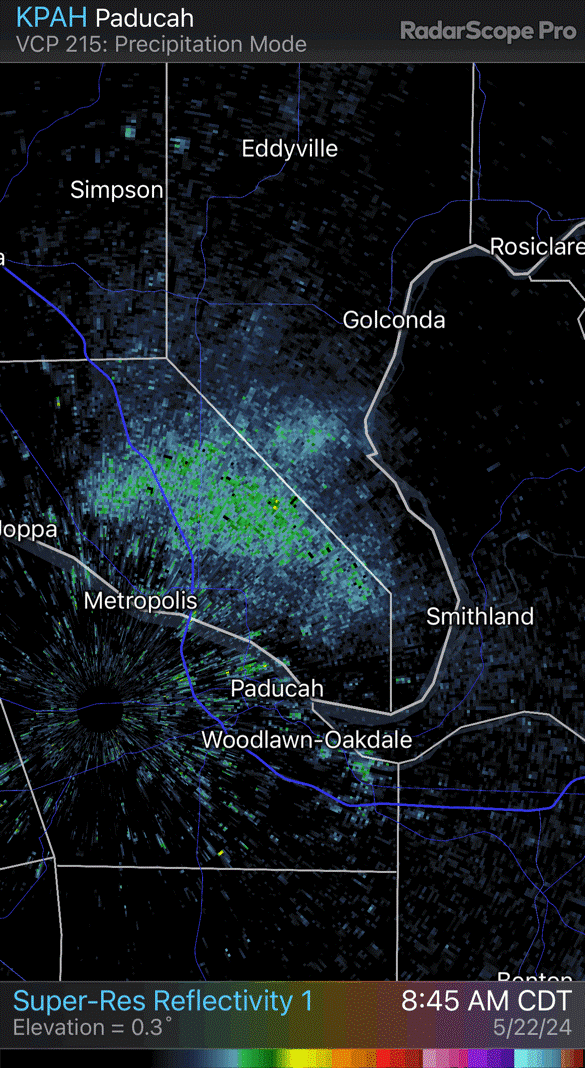
In this mode, the radar is in its most sensitive operation. This mode has the slowest antenna rotation rate which permits the radar to sample a given volume of the atmosphere longer. This increased sampling increases the radar's sensitivity and ability to detect smaller objects in the atmosphere than in precipitation mode. A lot of what you will se...
When rain is occurring, the radar does not need to be as sensitive as in clear air mode as rain provides plenty of returning signals. In Precipitation Mode, the radar products update every 6 minutes.
The colors on the legend are the different echo intensities (reflectivity) measured in dBZ. "Reflectivity" is the amount of transmitted power returned to the radar receiver. Reflectivity covers a wide range of signals (from very weak to very strong). So, a more convenient number for calculations and comparison, a decibel (or logarithmic) scale (dBZ...
Echoes from objects like buildings and hills appear in almost all radar reflectivity images. This "ground clutter" generally appears within a radius of 25 miles of the radar as a roughly circular region with a random pattern. An mathematical algorithm can be applied to the radar data to remove echoes where the echo intensity changes rapidly in an u...
This is a display of echo intensity (reflectivity) measured in dBZ.The base reflectivity images in Precipitation Mode are available at four radar "tilt" angles, 0.5°, 1.45°, 2.40° and 3.35° (these tilt angles are slightly higher when the radar is operated in Clear Air Mode). A tilt angle of 0.5° means that the radar's antenna is tilted 0.5° above t...
This display is of maximum echo intensity (reflectivity) measured in dBZ from all four radar "tilt" angles, 0.5°, 1.45°, 2.40° and 3.35°. This product is used to reveal the highest reflectivity in all echoes. When compared with Base Reflectivity, the Composite Reflectivity can reveal important storm structure features and intensity trends of storms...
This is the velocity of the precipitation either toward or away from the radar (in a radial direction). No information about the strength of the precipitation is given. This product is available for just two radar "tilt" angles, 0.5° and 1.45°. Precipitation moving toward the radar has negative velocity (blues and greens). Precipitation moving away...
The true wind direction can be determined on a radial velocity plot only where the radial velocity is zero (grey colors). Where you see a grey area, draw an arrow from negative velocities (greens and blues) to positive velocities (yellows and oranges) so that the arrow is perpendicular to the radar beam. The radar beam can be envisioned as a line c...
Weather radar, also called weather surveillance radar ( WSR) and Doppler weather radar, is a type of radar used to locate precipitation, calculate its motion, and estimate its type (rain, snow, hail etc.).
A weather radar is modern meteorological equipment. They are used to determine the location of water-bearing clouds and their trajectory, so they are indispensable for predicting heavy rains, thunderstorms, tornadoes, snowfalls, and other types of dangerous weather. Weather radars can help measure wind speed, too.
Radar. Satellite. Fronts. Severe Tropical Storms. Wildfires. Weather Underground’s WunderMap provides interactive weather and radar Maps for weather conditions for locations worldwide.
Learn what weather radar is, how it works, and what it can tell us about precipitation and storms. Find out the differences between S-Band, C-Band and X-Band radars, and how they are used for weather forecasting.
