Search results
Every day until 9pm5-Line Service Map. 9pm-Midnight. 3-Line Service Map. View the more detailed version of the map showing connecting rail.
- Stations
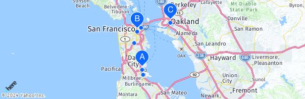
Stations - System Map | Bay Area Rapid Transit
- Trip Planner
Trip Planner - System Map | Bay Area Rapid Transit
- Fares
Click on “San Francisco, CA – Clipper” Add funds; Hold your...
- Using BART
Bay Area Rapid Transit (BART) connects the San Francisco...
- Parking Overview
Click on the banners above to pay for BART parking by App or...
- SFO
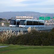
San Francisco International Airport (SFO) BART trains...
- Real Time Departures
Real Time Departures - System Map | Bay Area Rapid Transit
- BART Detailed Map Website PDF
San Francisco San Bruno Tamien Capitol SMART Larkspur San...
- Bay Area Rapid Transit
Trip Planner. Real Time Departures. Schedules & Map. Major...
- Stations
Do you want to launch the interactive map of the Bay Area Rapid Transit (BART) system? This ArcGIS web application allows you to explore the BART routes, stations, fares, and accessibility features. You can also zoom in and out, switch between different basemaps, and view the map legend. To start your journey, click on the link below.
View Bay Area Rapid Transit (BART) routes profiles includes realtime information and route information.
People also ask
What is Bart in San Francisco?
What is Bay Area Rapid Transit (BART)?
What is the San Francisco International Airport BART station?
Which San Francisco bus stations are near BART stations?
From: To: Date. Time. Use the BART Trip planner to schedule your trips and identify routes to your destination.