Search results
News about Texas, power outages, severe weather
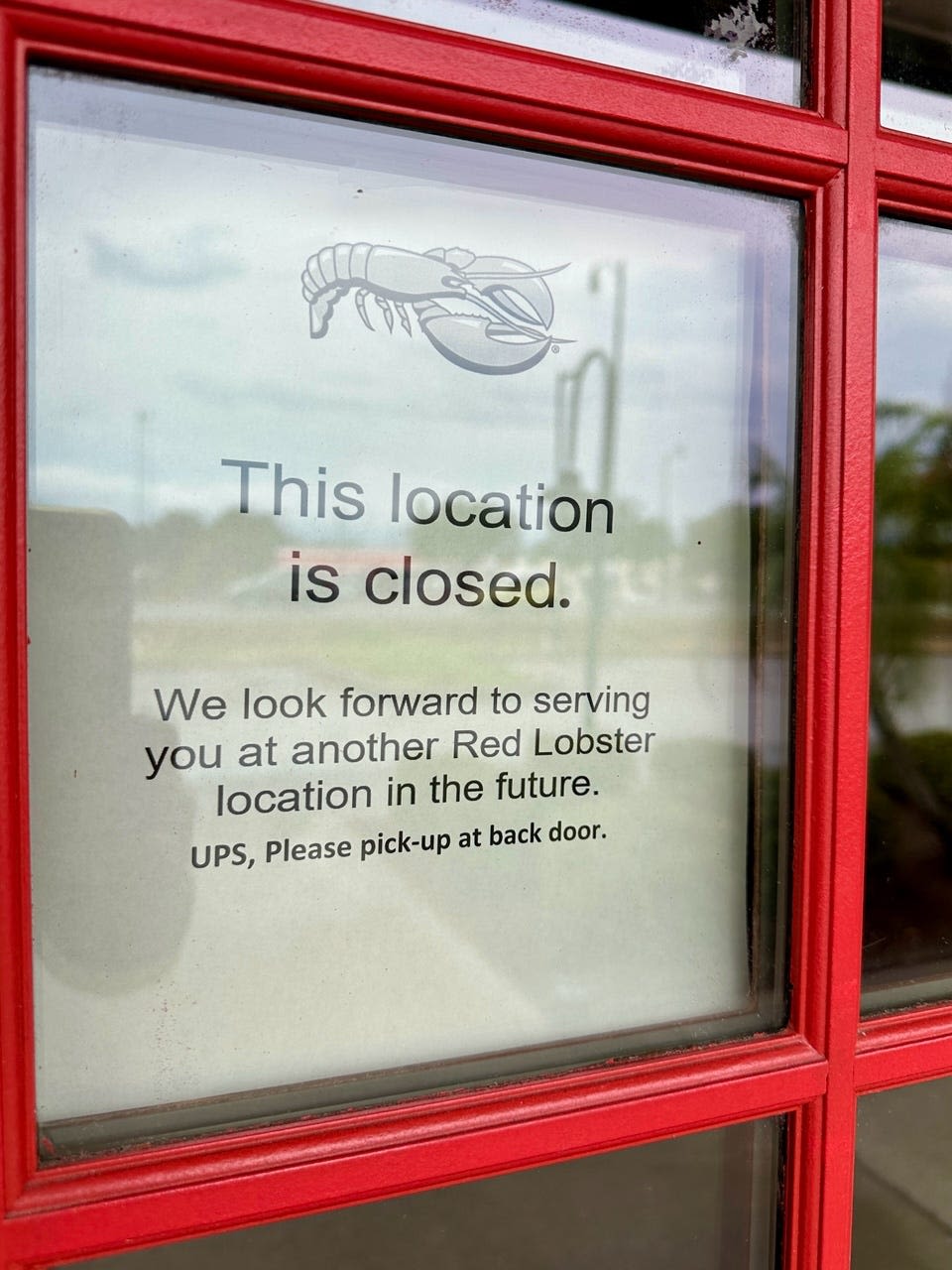
News about Texas, Red Lobster, summer meal program
News about heat wave, CDC, map
News about Dallas-Fort Worth, Austin, child care deserts
A map of Texas cities that includes interstates, US Highways and State Routes - by Geology.com.
Texas is the second largest and second most populous state in the United States of America. Mapcarta, the open map.
Jan 18, 2024 · Outline Map. Key Facts. Texas, the second-largest U.S. state in both area and population, borders the states of New Mexico, Oklahoma, Arkansas, and Louisiana. To its southwest lies the country of Mexico, and to the southeast, the Gulf of Mexico. Texas covers a total area of approximately 268,597 mi 2 (695,662 km 2 ).
Texas location map shows the exact location of the US state of Texas on the US map. It also shows the boundaries of different states in the US, neighbouring countries, and oceans all around. The state of Texas is situated in the South Central region of the US.
Texas maps showing counties, roads, highways, cities, rivers, topographic features, lakes and more.
Nov 25, 2023 · About the map. This Texas map contains cities, roads, rivers, and lakes for the Lone Star State. For example, Houston, San Antonio, and Dallas are major cities shown in this map of Texas. But other densely populated cities include Austin (state capital), Fort Worth, El Paso, and Corpus Christi.
Discover Texas's diverse landscape and rich history with Infoplease's Texas map atlas. Explore major cities, geographic features, and tourist attractions. Texas Map: Regions, Geography, Facts & Figures | Infoplease


