Search results
Bodega Bay Area Overview Map. Bodega Bay is located on the Pacific Coast just 68 miles North of San Francisco. From San Francisco: Cross the Golden Gate Bridge and take 101 North to Petaluma. Take the East Washington Street Exit and follow the signs 30 miles West to Bodega Bay. From Santa Rosa: Take 101 to Hwy 12 West.
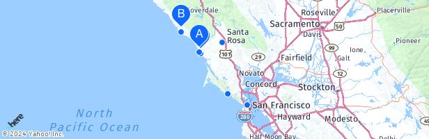
Bodega Bay is an ocean-front town of 900 people in Sonoma County in California. Bodega Bay has about 1,080 residents. Mapcarta, the open map.
People also ask
Where is Bodega Bay?
Which Beach is closest to Bodega Bay?
How do I get to Bodega Bay?
How many people live in Bodega Bay?
Bodega Bay (Spanish: Bahía Bodega) is a shallow, rocky inlet of the Pacific Ocean on the coast of northern California in the United States. It is approximately 5 mi (8 km) across and is located approximately 40 mi (60 km) northwest of San Francisco and 20 mi (32 km) west of Santa Rosa.
Bodega Bay Map. Bodega Bay is a town and census-designated place (CDP) in Sonoma County, California, United States. The population was 1,077 at the 2010 census. The town is on the eastern side of Bodega Harbor, an inlet of Bodega Bay on the Pacific coast.
- Bodega Bay, CA
Perched on Sonoma County's Pacific coastline, this scenic fishing village is ideal for coastal adventures. Explore the rocky point known as Bodega Head, watch for migrating whales, kayak to hidden coves, or eat your fill of delicious fresh seafood. Learn more about Bodega Bay.
Mar 10, 2023 · 1. Doran Beach, Doran Regional Park. 2. Campbell Cove Beach, Bodega Head. 3. North Salmon Creek Beach & South Salmon Creek Beach. 4. Wright's Beach. 5. Portuguese Beach. 6. Schoolhouse Beach. 7. Shell Beach. 8. Arched Rock Beach. 9. Bodega Dunes Beach. 10. Carmet Beach. 11. Goat Rock Beach. 12. Blind Beach.
There is no lack of things to do in the Bodega Bay area. Whether it’s golf, a day at the spa, hiking, beaches, camping, or shopping, it’s really easy to have exciting and fulfilling days in and around Bodega Bay.