Search results
Feb 24, 2021 · Physical map of Portugal showing major cities, terrain, national parks, rivers, and surrounding countries with international borders and outline maps. Key facts about Portugal.
Dec 5, 2023 · Portugal Map | Discover Portugal with Detailed Maps. World Map » Portugal. Portugal Map. Description: This map shows governmental boundaries of countries; districts, district capitals and major cities in Portugal. Size: 800x1128px / 117 Kb. Author: Ontheworldmap.com.
- 35,610 sq mi (92,230 sq km)
- Portuguese
- Lisbon
- ~ 10,500,000
MAP OF PORTUGAL. This detailed map of Portugal uses the advanced Google Maps technology to show the regions and cities of Portugal, if necessary to an incredibly detailed level. It is centred on Lisbon, the capital. You can click it and drag your mouse to move to another area of the country, or use the controls to zoom in or out.
Portugal map. Find Portugal on the map and explore Portugal's regions, districts, major cities and how its map has changed throughout history.
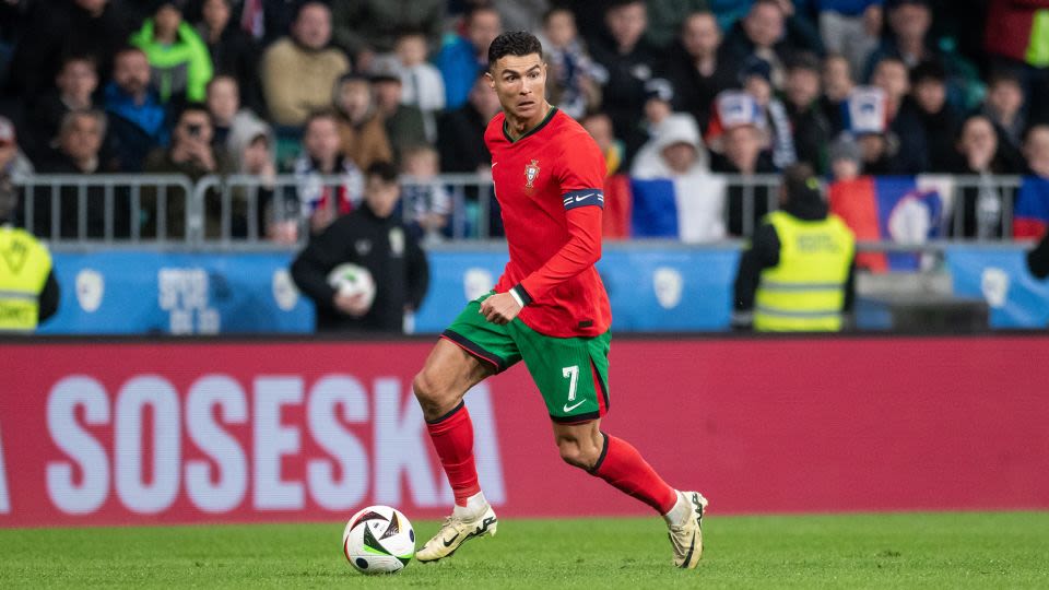
News about Cristiano Ronaldo, Portugal, Euro 2024
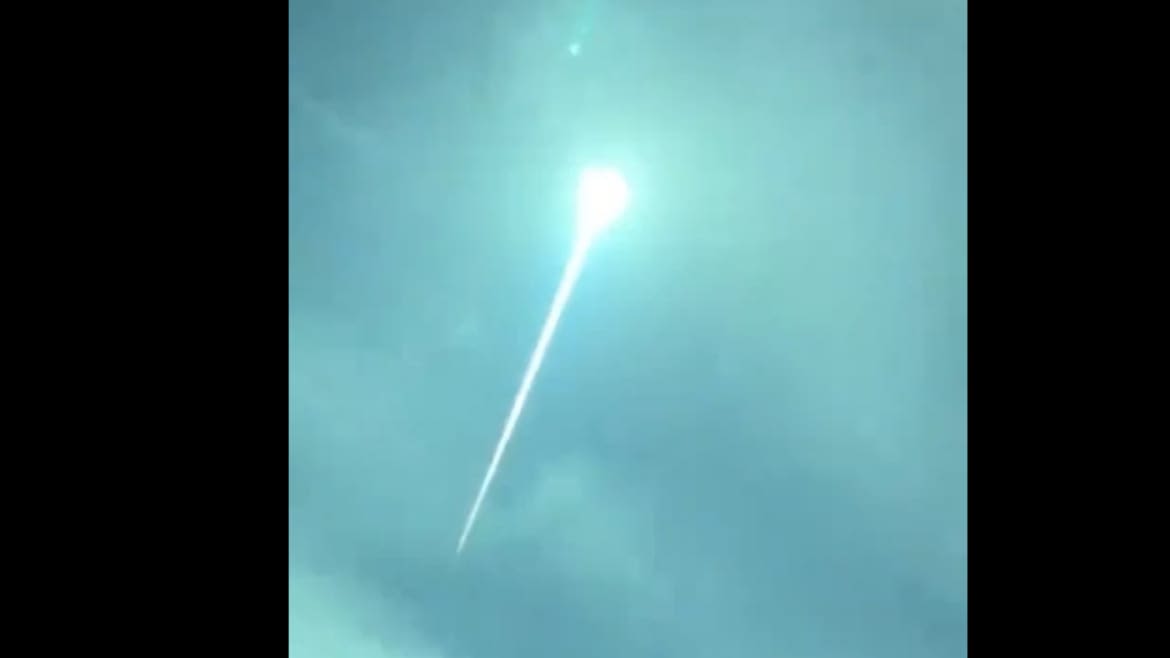
News about Portugal, meteor, teenager
News about Olivia Dunne, Katie Austin, SI Swimsuit
Also in the news
Portugal. Coordinates: 39°N 8°W. Portugal, [e] officially the Portuguese Republic, [f] is a country located on the Iberian Peninsula, in Southwestern Europe, and whose territory also includes the Macaronesian archipelagos of the Azores and Madeira.
People also ask
Which regions make up Portugal?
Where is Portugal located?
What does the Portugal map look like today?
Is Portugal a modern country?
The map shows Portugal, officially the Portuguese Republic (Portuguese: República Portuguesa), a sovereign state in southwestern Europe. It comprises the continental part of Portugal on the western coast of the Iberian peninsula and the archipelagos of Madeira and the Azores in the Atlantic Ocean.
Portugal is a modern country with strong links to its past and people of a friendly and hospitable nature. Mapcarta, the open map.


