Search results
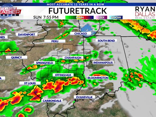
The highest chances of severe weather will occur with the front as it moves across western portions of central Illinois late this evening. Damaging wind gusts will be possible along with isolated tornadoes. The front is expected to move into western Illinois around 8 pm and exit into Indiana by 2 am.
- National Weather Service
Current conditions at. Southern Illinois Airport (KMDH) Lat:...
- Local Programs
Current Conditions. Radar. Forecasts. Rivers and Lakes....
- National Weather Service
1 day ago · Several strong to violent tornadoes, extreme hail, and corridors of widespread wind damage are forecast over parts of the central and southern Plains from late Saturday afternoon into the night. For additional details, see the latest Day 2 Convective Outlook.
6 days ago · Storm timing: Monday. According to Sack, Monday morning started out with sunshine, with chances for some showers to the north and west. Temperatures were expected to climb into the low 80s by...
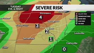
Current Day 1 Outlook: Forecaster: Bunting/Squitieri Issued: 25/1634Z Valid: 25/1630Z - 26/1200Z Forecast Risk of Severe Storms: Moderate Risk: Current Day 2 Outlook: Forecaster: Bentley Issued: 25/1733Z Valid: 26/1200Z - 27/1200Z Forecast Risk of Severe Storms: Enhanced Risk: Current Day 3 Outlook: Forecaster: Kerr Issued: 25/0727Z Valid: 27 ...
20 hours ago · Here's your 7-day forecast: Tuesday: AccuWeather Alert: Severe threat late. High: 87, Low: 61. Wednesday: Clouds, then sun. High: 76, Low: 58. Thursday: Nice and sunny. High: 77, Low:...


