Search results
Water Inflow Data. Glen Canyon Dam Release Data. Lake Powell is 135.2 feet below Full Pool (Elevation 3,700) By content, Lake Powell is 33.44% of Full Pool (24,322,000 af) Total inflows for water year 2024: 4,050,234 acre feet. This is 75.36% of the May 24th average of 5,374,527 acre feet.
- Lake Powell Webcams
Water-Data.com Webcams. 2024-05-24 14:12:38. NPS cams from...
- Rivers Feeding Lake Powell
It is 05:05:10 pm MDT at Lake Powell, Utah on Monday, May...
- View Acre Feet
Lake Powell is currently 433.42 feet deep at the dam: Water...
- Lake Powell Water Database
CHANGE represents water elevation change from previous day....
- Snowcams in The UC Basin
Water-Data.com Webcams. 2024-05-27 17:30:32. Beaver Creek...
- Water Sources Feeding Lake Powell
It is 05:34:16 pm MDT at Lake Powell, UT on Sunday, May...
- Upper Colorado Snowpack Database
water-data.com Upper Colorado Snowpack Database. Lake...
- Other Western Webcams
Water-Data.com Webcams. 2024-05-26 0:38:12. Alta Ski Resort...
- Water Summary
Google "Lake Powell Water" to find us! Elevation & Content...
- Lake Mead
We would like to show you a description here but the site...
- Lake Powell Webcams
5 days ago · Preparing lake level chart... Level Base: MSL. Full Pool: 3,700.00 feet. Change Since Yesterday: 0.54 Feet. Level Controlled by: Dam Name: Powell (DIVISION OF STATE LANDS & FORESTRY) Daily Levels By Month. Colorado River River Levels.
News about Lake Powell, Great Salt Lake, drought conditions
News about Colorado River, Navajo Nation, settlement
Also in the news
Monitoring location 09379900 is associated with a Lake, Reservoir, Impoundment in Coconino County, Arizona. Current conditions of Lake or reservoir water surface elevation above NAVD 1988 and Lake or reservoir water surface elevation above NGVD 1929 are available.
- Course
- Geology
- Appearance
- Discovery
- Effects
- Climate
- Environment
The Colorado River flows from the Rocky Mountains in Colorado through the southwestern United States. Along its route, the river passes through an elaborate water-management system designed to tame the yearly floods from spring snowmelt and to provide a reliable supply of water for residents as far away as California. The system is appreciated for ...
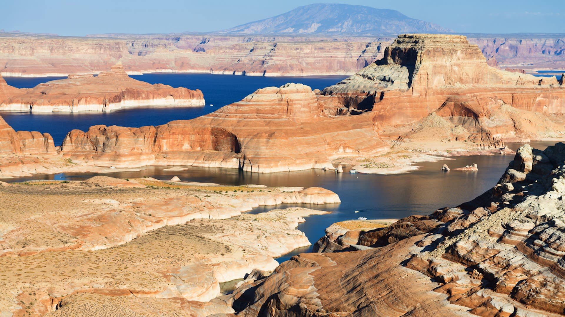
Among the dams on the Colorado is Arizonas Glen Canyon Dam, which creates Lake Powell. The deep, narrow, meandering reservoir extends upstream into southern Utah. In the early 21st century, this modern marvel of engineering faced an ancient enemy: prolonged drought in the American Southwest. Combined with water withdrawals that many believe are not...
At the beginning of the series in 1999, water levels in Lake Powell were relatively high, and the water was a clear, dark blue. The sediment-filled Colorado River appeared green-brown. In the early years of this image series, water levels began to drop. The declines were first apparent in the side canyons feeding the reservoir which thinned and the...
Dry conditions and falling water levels were unmistakable in the image from April 13, 2003. Lake Powells side branches had all retreated compared to the previous years extents. Water levels in Narrow Canyon had dropped enough to show canyon floor features not visible in earlier images. In the image acquired on May 1, 2004, the reservoirs northweste...
Lake Powells water levels plummeted in early 2005, according to the U.S. Department of the Interior Bureau of Reclamation. The northwestern side branch of Lake Powell remained cut off from the rest of the reservoir. In the main body of Lake Powell, water pooled along its eastern edge, while large expanses of dry canyon floor were visible in the wes...
The peak inflow to Lake Powell occurs in mid- to late spring, as the winter snow in the Rocky Mountains melts. Significant amounts of snowfall over the winter of 20102011 meant more water for Lake Powell, and this effect lasted into the spring of 2012. Since 2012, snow- and rainfall totals have generally been low, as the region has suffered through...
A century of river flow records combined with an additional four to five centuries of tree-ring data show that the droughts over the past two decades were not unusual; longer and more severe droughts are a regular part of the climate variability in that part of the continent. Global warming is expected to make droughts more severe in the future. Ev...
Aug 6, 2021 · Why you can trust Sky News. The second-largest reservoir in the US has hit all-time low water levels amid a climate change-induced megadrought engulfing the country's western states. Lake Powell, a massive reservoir on the Utah-Arizona border, saw its water levels reach a record low of 3,553ft (1,082m) last week.
Aug 6, 2021 · In 1983, Lake Powell's water exceeded its maximum level of 3,700 feet and nearly overran Glen Canyon Dam. The lake is facing a new set of challenges having reached a record low of 3,553...
People also ask
How low is Lake Powell water level?
What is the current level of Lake Powell?
How much water is in Lake Powell?
How low is Lake Powell?


