Search results
News about Aldrick L. Scott, GROW Nebraska, murder
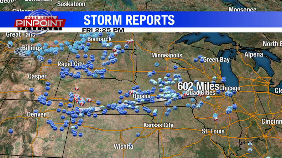
News about National Weather Service, Oklahoma, map
Also in the news
Jan 23, 2024 · Nebraska is located in the Midwestern United States, sharing borders with South Dakota to the north, Iowa and Missouri to the east, Kansas to the south, and Colorado and Wyoming to the west. It covers an area of 77,358 mi 2 (200,356 km 2 ), ranking as the 16th largest state in the United States.
Jan 24, 2024 · Nebraska Map. Map of Nebraska: Click to see large. Description: This map shows states boundaries, the state capital, counties, county seats, cities and towns in Nebraska. Size: 1350x832px / 244 Kb. Author: Ontheworldmap.com.
People also ask
Where is Nebraska located?
What cities are on the Nebraska map?
How many counties are in Nebraska?
Which states border Nebraska?
A map of Nebraska cities that includes interstates, US Highways and State Routes - by Geology.com.
Jan 23, 2024 · This map shows cities, towns, counties, interstate highways, U.S. highways, state highways, main roads, secondary roads, rivers, lakes, airports, national forests, state parks, rest areas, welcome centers, indian reservations, truck parking and points of interest in Nebraska.
This is a generalized topographic map of Nebraska. It shows elevation trends across the state. Detailed topographic maps and aerial photos of Nebraska are available in the Geology.com store. See our state high points map to learn about Panorama Point at 5,424 feet - the highest point in Nebraska.
May 22, 2024 · Last Updated: May 22, 2024. Download. About the map. This Nebraska map contains cities, roads, rivers, and lakes. Omaha, Lincoln, and Bellevue are some of the major cities shown in this map of Nebraska. Nebraska is best known for corn, steak, and Warren Buffet.


