Search results
The CTA System Map shows both CTA Bus and Rail lines, as well as connecting services provided by other transit agencies in Chicago and surrounding communities.
- System Map
Inset maps for special routes. Rush period buses from Metra...
- Downtown Map
Union Station (Amtrak, Metra), E-10. Destinations,...
- Blue Line
The CTA Blue Line provides 24-hour rapid transit train...
- Schedules
Schedules - Maps - CTA - Chicago Transit Authority
- Orange Line
The Orange Line provides rapid transit train service between...
- Brown Line
Brown Line - Maps - CTA - Chicago Transit Authority
- Travel Information
Travel Information - Maps - CTA - Chicago Transit Authority
- Fares
Fares - Maps - CTA - Chicago Transit Authority
- Green Line
The Green Line route provides rapid transit train service...
- System Map
Lines, Schedules, Maps & Stations. Service Alerts. Schedules. Line Map. Metra Train Tracker. Alternate Schedules. Construction Notices. How Metra Handles Service Disruptions. Jump to.
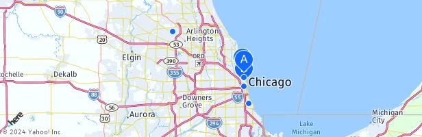
The Chicago metropolitan area, also referred to as the Greater Chicago Area and Chicagoland, is the largest metropolitan statistical area in the U.S. state of Illinois, containing the City of Chicago along with its surrounding suburbs and satellite cities. Encompassing 10,286 square mi (28,120 km 2 ), the metropolitan area includes the city of ...
Chicagoland consists of the Chicago metropolitan area in northeastern Illinois, including Chicago and its surrounding suburbs including those in Northwest Indiana. Map. Directions.
The Chicago metropolitan area, or Chicagoland, is the metropolitan area that includes the city of Chicago, Illinois, and its suburbs, spanning 13 counties in northeast Illinois and northwest Indiana.
People also ask
What is the Chicago metropolitan area?
When did Chicago become a metropolitan area?
Does Chicago have a commuter rail network?
How many area codes are there in Chicago?
 • Mapsof.net")