Search results
Explore the interactive map of Los Angeles County's water resources, land use, transportation, and environmental features. ArcGIS allows you to create, analyze, and share maps and data online. Discover the spatial patterns and relationships that shape LA County.
Maps and geographic or spatial information is key to most of LA County Planning’s work. We used Geographic Information Systems (GIS) technology from its start, and still use it every day. We have created GIS web applications for viewing and researching land use and zoning .
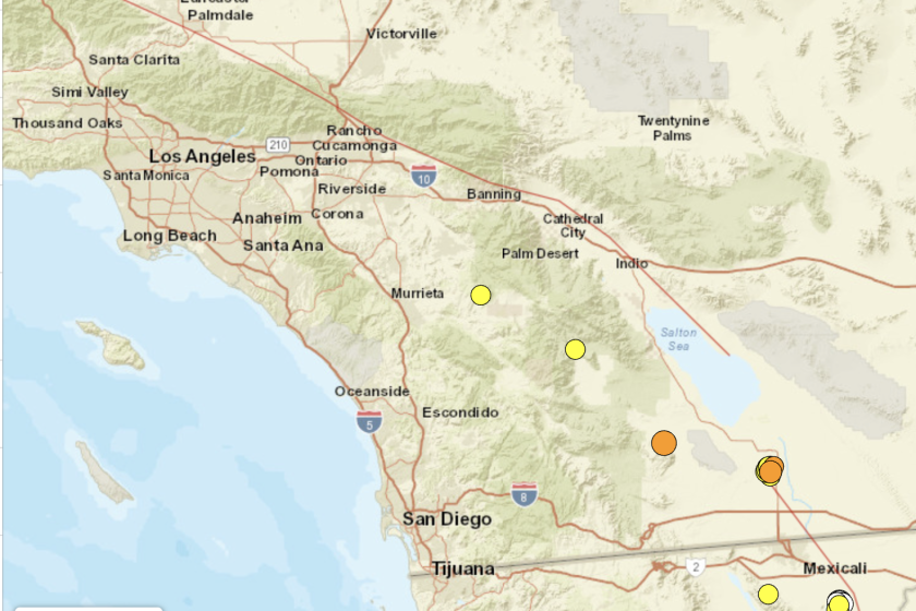
Explore the detailed Los Angeles County Map. Los Angeles County Map shows the county boundaries, county seat, major cities, highways, roads, rail network and point of interest.
As shown by the map below, Los Angeles County is bordered on the north by Kern County, on the east by San Bernardino County, on the southeast by Orange County, on the south by the Pacific Ocean, and on the west by Ventura County.
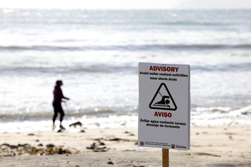
News about Los Angeles County, beaches, high bacteria levels
News about New York, environmental impact report, Texas
Also in the news
Los Angeles County Map. The County of Los Angeles is located in the State of California. Find directions to Los Angeles County, browse local businesses, landmarks, get current traffic estimates, road conditions, and more.
Road map. Detailed street map and route planner provided by Google. Find local businesses and nearby restaurants, see local traffic and road conditions. Use this map type to plan a road trip and to get driving directions in Los Angeles County.
Dec 22, 2023 · Los Angeles County Map. This map shows cities, towns, main roads, secondary roads, highways, parks, national forests, airports, rest areas, ski areas, attractions and lighthouses in Los Angeles County. You may download, print or use the above map for educational, personal and non-commercial purposes. Attribution is required.


