Search results
The Dallas–Fort Worth Metroplex is a large area in the Prairies and Lakes region of Texas. With an estimated 2015 population of 7.1 million, it is the most populous metropolitan area in Texas and the South and the fourth most populous in the United States. Overview. Map. Directions. Satellite. Photo Map.
Traveling to the DFW Area? Use our interactive map of Dallas/Fort Worth to find your way around one of the largest metropolitan areas in the country.
Map & Neighborhoods. Photos. Dallas Neighborhoods. © OpenStreetMap contributors. +. −. Formerly two separate cities, Dallas and Fort Worth have been joined by urban sprawl, now connected...
Explore the DFW area with this map that shows the major roads and highways. You can also find other maps of Texas cities, highways and major Texas cities on this web page.
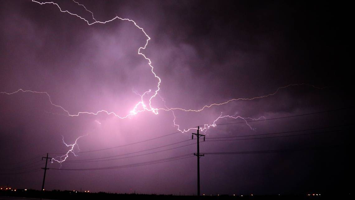
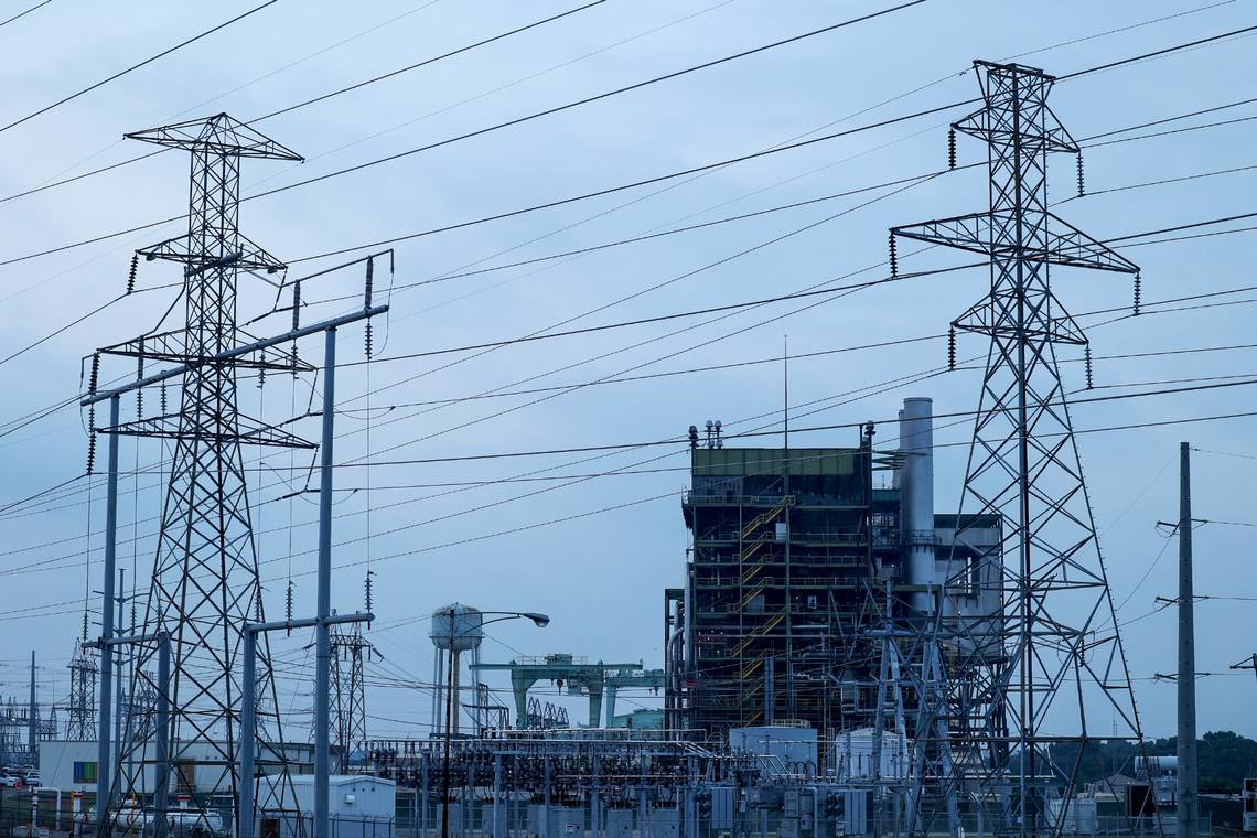
News about Dallas, power outages, Dallas-Fort Worth
News about North Texas, power outage, rain
Also in the news
Location: Dallas, Texas, United States, North America. View on OpenStreetMap. Latitude. 32.7763° or 32° 46' 35" north. Longitude. -96.7969° or 96° 47' 49" west.
People also ask
Is Fort Worth bigger than Dallas?
Are Dallas & Fort Worth the same city?
Is Dallas a big city?
Where is Rockwall Texas?
Detailed Road Map of Dallas-Fort Worth Metropolitan Area. This page shows the location of Dallas-Fort Worth Metropolitan Area, TX, USA on a detailed road map. Choose from several map styles. From street and road map to high-resolution satellite imagery of Dallas-Fort Worth Metropolitan Area. Get free map for your website.
Find local businesses, view maps and get driving directions in Google Maps.


