Search results
Jan 10, 2024 · Map of India showing states, UTs and their capitals. Download free India map here for educational purposes.
- Interactive Maps of India
Find Interactive Maps of India including its history,...
- Elections
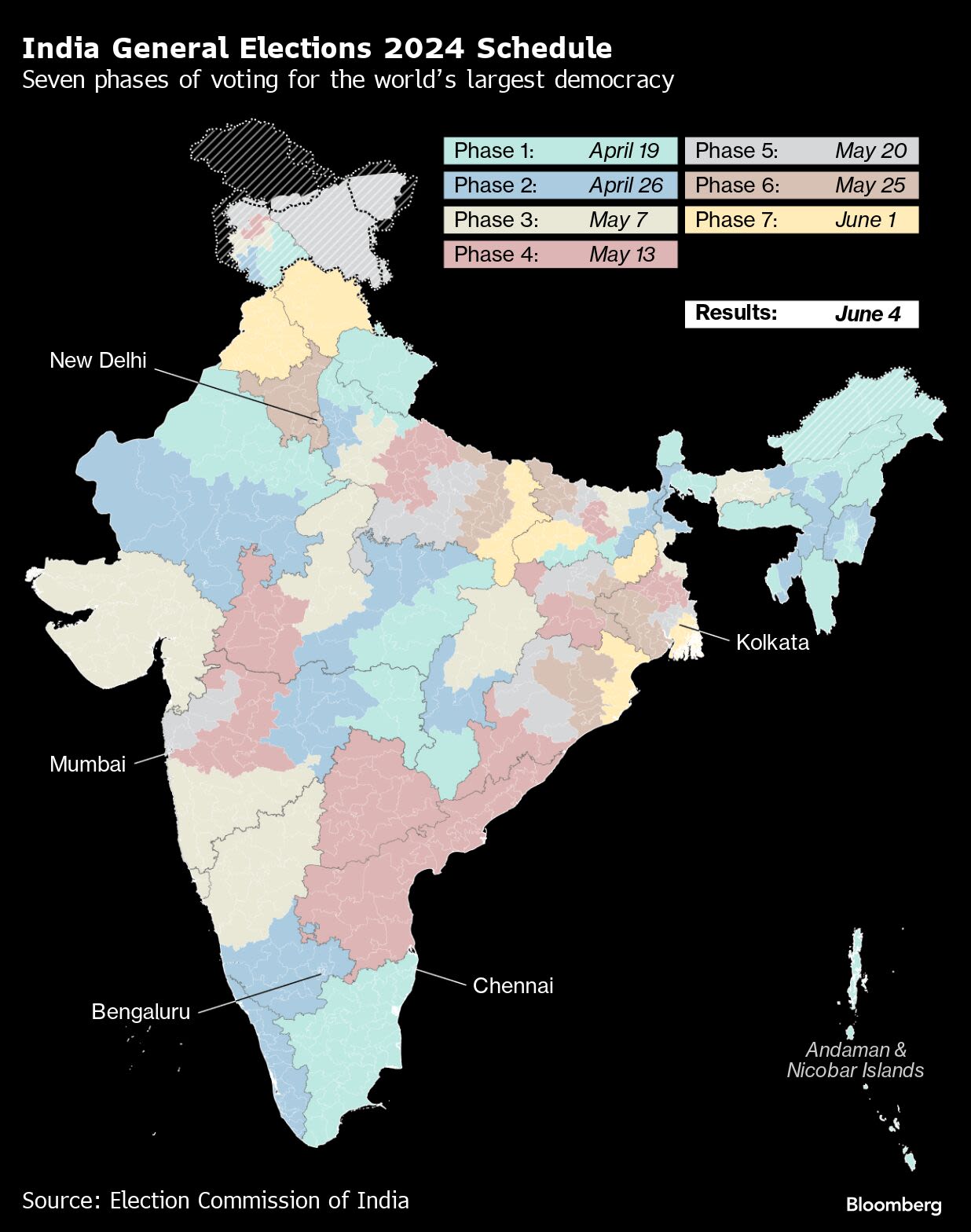
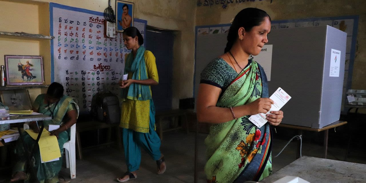
Find information about India 18th General (Lok Sabha)...
- My India
ICC Men’s T20 World Cup 2024: Check The Indian Squad Named
- Travel
Travel to Munnar - Detailed information on Munnar tourism,...
- world maps
A world map can be defined as a representation of Earth, as...
- utility maps
Jammu and Kashmir This northern state of India is mostly...
- Food
Welcome! Log into your account. your username. your password
- Uttar Pradesh
Uttar Pradesh Travel Map Uttar Pradesh is India's most...
- State Profiles
Get list of Indian states and union territories with...
- River Map of India, India River System, Himalayan Rivers, Peninsular Rivers
- Indian States and Capitals on Map | List of All India's 8 UTs and 28 States with Capitals Cities
- Tier I and Tier II Cities of India, Classification of Indian Cities
- Delhi Metro Map - Complete Route Details of Metro Map Delhi
- Uttar Pradesh District Map, List of Districts in Uttar Pradesh
- Soil Map of India
- India Railway Map, Indian Railways
- Mountain Ranges of India, Hill Range and River Map of India
- Current Ruling Political Parties in States of India - Maps of India
- Rajasthan District Map, List of Districts in Rajasthan
- Interactive Maps of India
People also ask
Where can I find a map of India?
What is India political map?
How many states are in India?
How many states and union territories are there in India?
The map shows the states of India with details about the geography of India and a description of each state. Searchable map/satellite view of India India Country Profile
News about India, election, Hindus
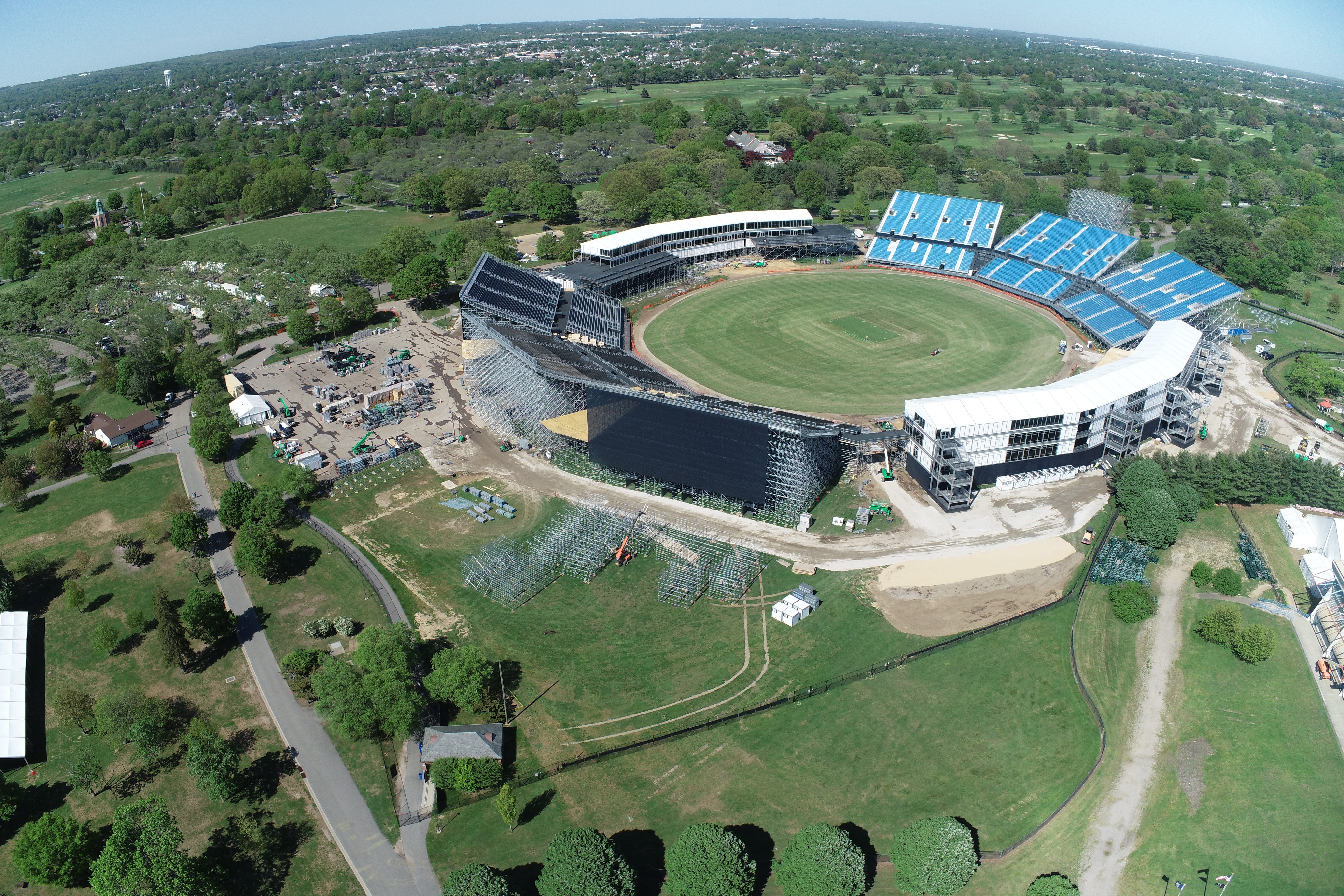
News about NJ, NYPD, Cricket World Cup
Also in the news
Our political map of India shows the borders of each of India's 28 states and 8 union territories as well as neighboring countries.
Click any State on the map and get the Detailed State Map. Political Map of India. View Larger Map. or. * The India Political map shows all the states and union territories of India...


