Search results
A map of Iowa cities that includes interstates, US Highways and State Routes - by Geology.com.
Jan 24, 2024 · Iowa Map. Description: This map shows states boundaries, the state capital, counties, county seats, cities and towns in Iowa. You may download, print or use the above map for educational, personal and non-commercial purposes. Attribution is required.
2 days ago · The detailed map shows the US state of Iowa with boundaries, the location of the state capital Des Moines, major cities and populated places, rivers and lakes, interstate highways, principal highways, and railroads.
Iowa maps showing counties, roads, highways, cities, rivers, topographic features, lakes and more.
News about Iowa, Illinois, Cicadas
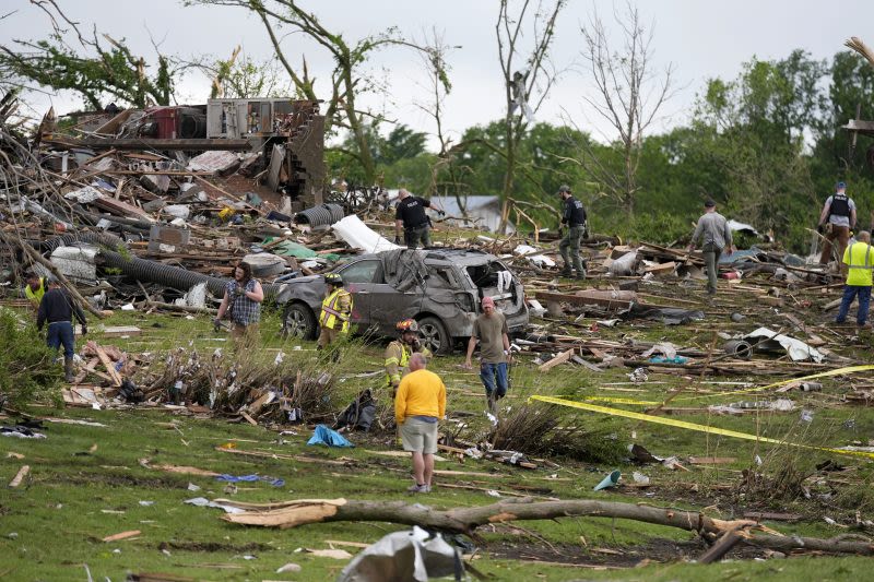
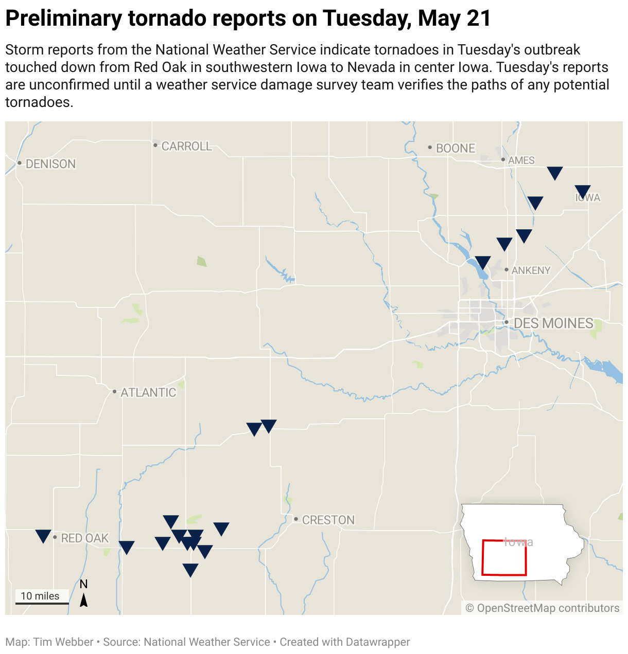
News about Iowa, tornadoes, Greenfield
Also in the news
Directions. Satellite. Photo Map. Iowa, a state with gently rolling green hills in the Midwest region of the United States, was admitted to the Union in 1846 as the 29th state.
3 days ago · This Iowa map displays cities, roads, rivers and lakes. Des Moines, Cedar Rapids and Davenport are some of the major cities shown in this map of of Iowa.
Iowa. Sign in. Open full screen to view more. This map was created by a user. Learn how to create your own. ... Sign in. Open full screen to view more. This map was created by a user.


