Search results
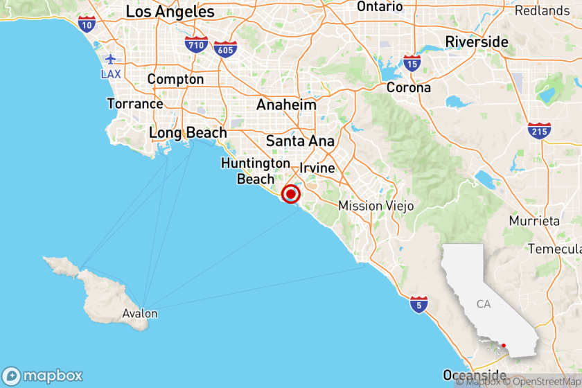
Southern California is a megapolitan area in the southern region of the U.S. state of California. The large urban areas containing Los Angeles and San Diego stretch all along the coast from Ventura to the Southland and Inland Empire to San Diego. Map. Directions. Satellite.
Aug 6, 2022 · Map of Southern California shows all the counties located in Southern California, major cities, tourist attractions, beaches, airports, highways etc.
Jan 23, 2024 · Map of Southern California. This map shows cities, towns, interstate highways, U.S. highways, state highways, main roads, airports, national parks, national forests and state parks in Southern California. Source: www.mapmatrix.com .
Map of California - Click to see large: 1242x1401 | 1600x1806 Description: This map shows governmental boundaries of countries, states boundaries, islands, lakes, the state capital, counties, county seats, cities, towns, and national parks in California.
News about Florida, cities, Fort Myers
News about Southern California, earthquakes, wildfires
Also in the news
Apr 3, 2020 · Southern California is full of bucket list-worthy destinations. The top 15 must-visit places include beach cities, a national park, bustling downtowns, painted deserts, and the happiest place on Earth, Disneyland.
Southern California (commonly shortened to SoCal) is a geographic and cultural region that generally comprises the southern portion of the U.S. state of California. It includes the Los Angeles metropolitan area (the second most populous urban agglomeration in the United States) as well as the Inland Empire (another large metropolitan area).
National Geographic's Southern California Guide Map provides travelers with the perfect combination of detail and perspective in a highly functional travel tool. Both comprehensive map and mini-guidebook, this map provides information on many points of interest, the cities of Los Angeles and San Diego, and Sequoia and Kings Canyon national parks.
Free map of Southern California Region with towns and cities. Large detailed map of Southern California Region with County boundaries. Southern California Region highway map with rest areas.
Explore the map of Southern California showing international boundary, state boundary, intersate highways, US highways, railroads, state capital, major cities, airpirts, beaches, forests, and national parks.
This map was created by a user. Learn how to create your own. Southern California.


