Search results
Interactive real-time wildfire and forest fire map for Colorado. See current wildfires and wildfire perimeters in Colorado using the Fire, Weather & Avalanche Wildfire Map.
Get the latest updates on wildfires burning in Colorado on an interactive map. See fire locations, watches and warnings, and the smoke forecast.
Colorado wildfire, smoke map: Track latest wildfires, red flag warnings. Track the latest wildfire and smoke information with data that is updated hourly based upon input from several...
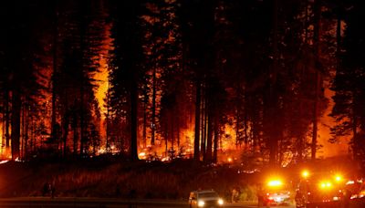
13 hours ago · Colorado wildfires continue to rage as fire-battling resources thin. Firefighters across Colorado battled intense heat and dangerous conditions on Thursday in a battle to gain control of several ...
The AirNow Fire and Smoke Map provides information that you can use to help protect your health from wildfire smoke. Use this map to see: Current particle pollution air quality information for your location; Fire locations and smoke plumes; Smoke Forecast Outlooks, where available; and, Recommendations for actions to take to protect yourself ...
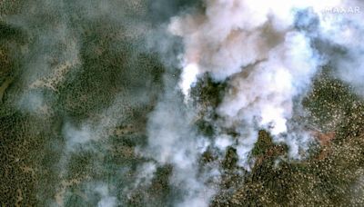
2 days ago · DENVER — Colorado fire crews are fighting three separate wildfires—the Alexander Mountain Fire, the Stone Canyon Fire, and the Quarry Fire—in Larimer, Boulder, and Jefferson counties this week. At least one person has died, thousands have been forced from their homes, and multiple structures have been destroyed. Denver7.
1 day ago · Colorado wildfire latest on Thursday: Evacuations and road closures for the Quarry Fire in Jefferson County, size at 341 acres with 0% containment, rattlesnakes. ... Right Now. Denver, CO ...


