Search results
News about cicadas, Tennessee, emergence
News about Houston County, Alabama Power Company, Ashford
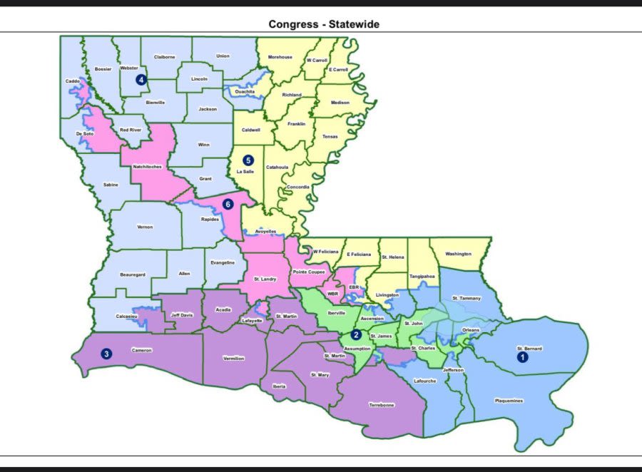
News about Louisiana, federal court, congressional map
Also in the news
Mar 5, 2024 · General Map of Alabama, United States. The detailed map shows the US state of Alabama with boundaries, the location of the state capital Montgomery, major cities and populated places, rivers and lakes, interstate highways, principal highways, railroads and major airports.
Alabama is a state in the Southern United States of America. Alabama is known for its civil rights history and scenic beauty, and has a lot to offer those who enjoy the great outdoors, from Gulf Coast beaches to 40 National and stare parks. Map. Directions.
A map of Alabama cities that includes interstates, US Highways and State Routes - by Geology.com
Mar 10, 2024 · This Alabama map features cities, roads, rivers, and lakes. Montgomery is the capital of the state of Alabama. Birmingham, Mobile, and Huntsville are some of the major cities shown on this map of Alabama.
Satellite Image. Alabama. on a USA Wall Map. Alabama Delorme Atlas. Alabama on Google Earth. Map of Alabama Cities: This map shows many of Alabama's important cities and most important roads. Important north - south routes include: Interstate 59, Interstate 65 and Interstate 85. Important east - west routes include: Interstate 10 and Interstate 20.
Mar 10, 2024 · By: GISGeography Last Updated: March 10, 2024. Download. About the map. This Alabama State Map shows major landmarks and places in Alabama like national forests, preserves, and wildlife refuges in Alabama. When you’re on a road trip, this map can be like your guide for places and sites to see in combination with our road map of Alabama.
World Atlas > USA > Alabama atlas. Alabama map. Alabama counties map. Alabama North road map. Alabama topographic map. Alabama South road map. Map of Alabama roads and highways. Large detailed map of Alabama with cities and towns. Free printable roads map of Alabama. Map of Alabama with local roads and highways.


