Search results
Oct 8, 2021 · Alcatraz Island Map. This is a general map of the island showing various structures. For your safety, please listen to the announcements at the dock, since various areas of the island are closed to the public depending on the season. Open the PDF of the Island map by clicking here. Last updated: October 8, 2021. Was this page helpful? Yes. No.
- Guided Tours - Alcatraz Island (U.S. National Park Service)
Alcatraz Island Golden Gate National Recreation Area B201...
- Alcatraz Island Map - U.S. National Park Service
MAP KEY. Audio Tour start. Restroom. Bird viewing area...
- Guided Tours - Alcatraz Island (U.S. National Park Service)
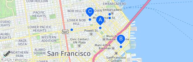
- Muni
- Cable Cars
- Other Transit
If you're coming from downtown, the following Muni bus lines stop a short walk from Pier 33 Alcatraz Landing: 1. F Line Historic Streetcar – Exit at the Bay Street stop 2. #8 Bayshore – Use Kearny Street and North Point stop
The Powell-Mason cable carOpens in new windowterminates at the corner of Bay and Taylor Streets, six blocks west of Pier 33 Alcatraz Landing.
AC Transit provides bus service from the East Bay to the Salesforce Transit Center in San Francisco. From there, connect to Muni buses and streetcars. Visit AC Transit MapsOpens in new window. Golden Gate Transit provides bus service between San Francisco, Marin, and Sonoma Counties. Visit Golden Gate TransitOpens in new window.
Here is all the information as well as some tips to make the most of your day on Alcatraz. Details. Cost: $49 for ticket and boat passage to the island, book online before going. Books out weeks in advance especially during summer and weekends. Arrive 30 minutes before your departure time.
Coordinates: 37°49′36″N 122°25′22″W. Alcatraz Island ( / ˈælkəˌtræz /) is a small island 1.25 miles (2.01 km) offshore from San Francisco, California, United States. [1] . The island was developed in the mid-19th century with facilities for a lighthouse, a military fortification, and a military prison.
- 22 acres (8.9 ha)
- San Francisco, California
- 1934; 89 years ago
Mar 31, 2024 · Alcatraz Island, rocky island in San Francisco Bay, California, U.S. The island occupies an area of 22 acres (9 hectares) and is located 1.5 miles (2 km) offshore.
- The Editors of Encyclopaedia Britannica
People also ask
Where is Alcatraz Island?
How do you get to Alcatraz from San Francisco?
Where can I find information about Alcatraz?
What is Alcatraz Island known for?
Mar 6, 2011 · It is the home of the oldest operating lighthouse on the west coast, a Civil War fortress that served as the San Francisco Arsenal, the infamous federal prison, the beginning of the American...