Search results
The 1,450-mile-long (2,330 km) river, the 5th longest in the United States, drains an expansive, arid watershed that encompasses parts of seven U.S. states and two Mexican states. The name Colorado derives from the Spanish language for "colored reddish" due to its heavy silt load.
- 1,450 mi (2,330 km)
- La Poudre Pass
Colorado River Watershed. The Colorado River connects us to 40 million people in the American West. The Colorado River supports 40 million people as it flows through seven U.S. states and Mexico. The dark black line in the map below outlines the Colorado River watershed.
The watershed spanning a remarkable 8 percent of the continental U.S. funnels into the sixth-longest river in the nation, yet overestimations of the river’s bounty when the Colorado River Water Compact was ratified back in 1922 established a bank account destined to be permanently overdrawn.
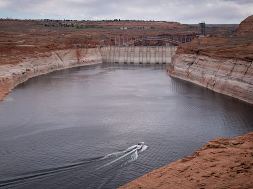
Apr 23, 2024 · USGS Colorado River Basin Science. The Grand Canyon Monitoring and Research Center, a branch of the Southwest Biological Science Center, conducts scientific assessments of the Colorado River in Grand Canyon, focused primarily on Lake Powell and the river ecosystem downstream of Glen Canyon Dam.
Feb 14, 2023 · Drought has shrunk the water supply from the Colorado River, but seven states rely on it for at least some of their water.
The U.S. Drought Monitor (USDM) is updated each Thursday to show the location and intensity of drought across the country. This map shows the drought conditions of the Colorado River Basin watershed, using a five-category system, from Abnormally Dry (D0) conditions to Exceptional Drought (D4).
Jul 13, 2021 · Another dry year has left the watershed that supplies 40 million people in the Southwest parched. A prolonged 21-year warming and drying trend is pushing the nation's two largest reservoirs to...


