Search results
Mapping / GIS. Mapping / GIS. Bid Opportunities. Economic Vitality Services. Business Resources. Chambers of Commerce. Cannabis Information. COVID-19 Resources for Businesses. Doing Business with Santa Barbara County.
- Recorded Maps
Access Santa Barbara Recorded Maps. Maps & Surveys, Maps,...
- Maps
Maps. Political Districts. Santa Barbara Area. Lompoc /...
- Mapping
View request and maps for different parts of land in our...
- Recorded Maps
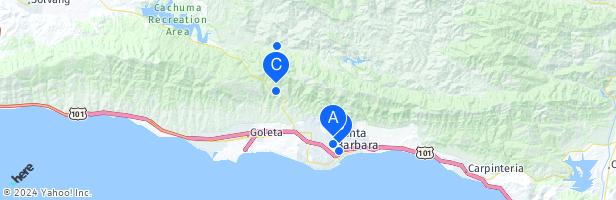
Santa Barbara County. Type: county of California with 424,000 residents. Description: county in southern California, United States. Neighbors: Kern County, San Luis Obispo County and Ventura County. Location: Central Coast, California, United States, North America. View on OpenStreetMap. Latitude of center.
People also ask
Where is Santa Barbara County?
What is Santa Barbara County known for?
Is Santa Barbara the northernmost part of Southern California?
Is Santa Barbara a wine region?
Feb 26, 2024 · ArcGIS - Santa Barbara County Land Use and Zoning Map. Details. Santa Barbara County Land Use and Zoning Map. Map of Land Use, Zoning, and Overlays for Santa Barbara County (Unincorporated Areas Only) Web Map by bbuyan. Last Modified: February 26, 2024. (0 ratings, 0 comments, 206,626 views)
Santa Barbara County, officially the County of Santa Barbara (Spanish: Condado de Santa Bárbara), is located in Southern California. As of the 2020 census , the population was 448,229. [14] The county seat is Santa Barbara , [15] and the largest city is Santa Maria .