Search results
Find your way around Fort Worth with detailed, downloadable maps of downtown Fort Worth, the cultural district, the greater Fort Worth metro area & more. Explore the city's attractions, bike lanes, trails and parking options with our interactive map.
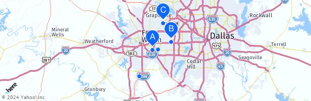
The Dallas–Fort Worth Metroplex is a large area in the Prairies and Lakes region of Texas. With an estimated 2015 population of 7.1 million, it is the most populous metropolitan area in Texas and the South and the fourth most populous in the United States. Overview. Map. Directions. Satellite. Photo Map.
Fort Worth. Categories: city in the United States, big city, county seat and locality. Location: Tarrant, Texas, United States, North America. View on OpenStreetMap. Latitude. 32.7532° or 32° 45' 11" north. Longitude. -97.3327° or 97° 19' 58" west. Population.
People also ask
Where is Fort Worth in Texas?
How big is Fort Worth Texas?
Is Fort Worth Texas a big city?
How far is Fort Worth from Dallas?
Find a map of Fort Worth, TX and get directions to nearby cities, attractions, and hotels. Learn about the history, culture, and population of the city and the Dallas–Fort Worth metropolitan area.
- Fort Worth, TX
- mailto:help@mapquest.com
Oct 15, 2023 · Our map of Fort Worth Texas is an easy-to-use and informative tool that will help you plan your trip. Plus, it’s just a short distance to Dallas, Texas, just 30 miles (50 km) east via I-30 E. Discover the best things to do and see in the Fort Worth area in Texas. This map includes tourist information, such as how to get to the city’s most ...
Use our interactive map of Dallas/Fort Worth to find your way around one of the largest metropolitan areas in the country.
DFW Counties - Google My Maps is a custom map that shows the boundaries and names of the counties in the Dallas-Fort Worth metroplex. You can zoom in and out, explore the area, and get directions ...

")