Search results
Feb 24, 2021 · Explore the geography, regions, and history of Greece with maps and facts. Find out where Greece is located, what its capital and largest city are, and what its currency and GDP are.
- Athens
- Hellenic Republic
- 130,647.00 km 2
- 131,957.00 km 2
News about Attilio Brillembourg, Malibu, family connections
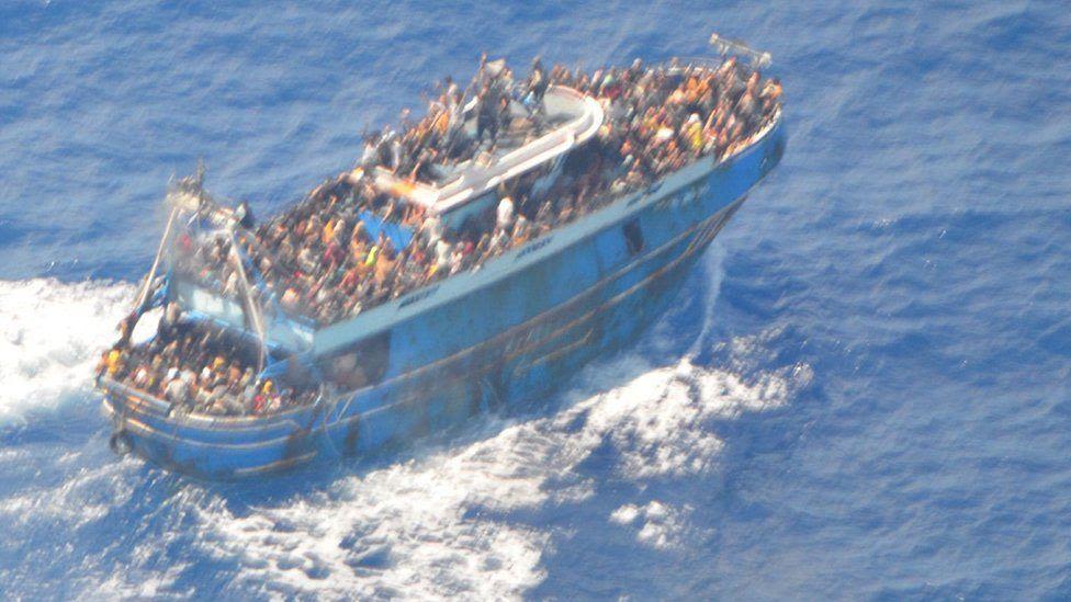
News about Greece, shipwreck, migrants
Also in the news
Apr 19, 2020 · Find maps of Greece and the Greek islands for your trip planning and school projects. Learn about the geography, distances, and history of Greece with these maps.
- Detraci Regula
People also ask
Where is Greece located in Europe?
How many kilometres of coastline does Greece have?
What is the latitude and longitude of Greece?
Where is Greece located in the Balkans?
Find local businesses, view maps and get driving directions in Google Maps.
Coordinates: 22°E. Greece, [a] officially the Hellenic Republic, [b] is a country in Southeast Europe. Located on the southern tip of the Balkan peninsula, Greece shares land borders with Albania to the northwest, North Macedonia and Bulgaria to the north, and Turkey to the east.
Topographic map of Greece. Greece is located in South Eastern Europe, bordering the Ionian Sea and the Mediterranean Sea. It is a peninsular country, with an archipelago of about 3,000 islands. It has a total area of 131,957 km 2 (50,949 sq mi), [6] of which land area is 130,647 km 2 and internal waters (lakes and rivers) account for 1,310 km 2.


