Search results
News about cicadas, Tennessee, emergence
News about anti-transgender legislation, sperm count, risk assessment map
News about Iowa, IQAir, tornadoes
Also in the news
Jan 24, 2024 · Detailed Map of Iowa. 3900x2687px / 4.5 Mb Go to Map. Large detailed map of Iowa with cities and towns. 3000x1857px / 1.63 Mb Go to Map. Iowa County Map. 1000x721px / 104 Kb Go to Map. Iowa road map. 2247x1442px / 616 Kb Go to Map. Iowa interstate highway map.
A map of Iowa cities that includes interstates, US Highways and State Routes - by Geology.com
Find local businesses, view maps and get driving directions in Google Maps.
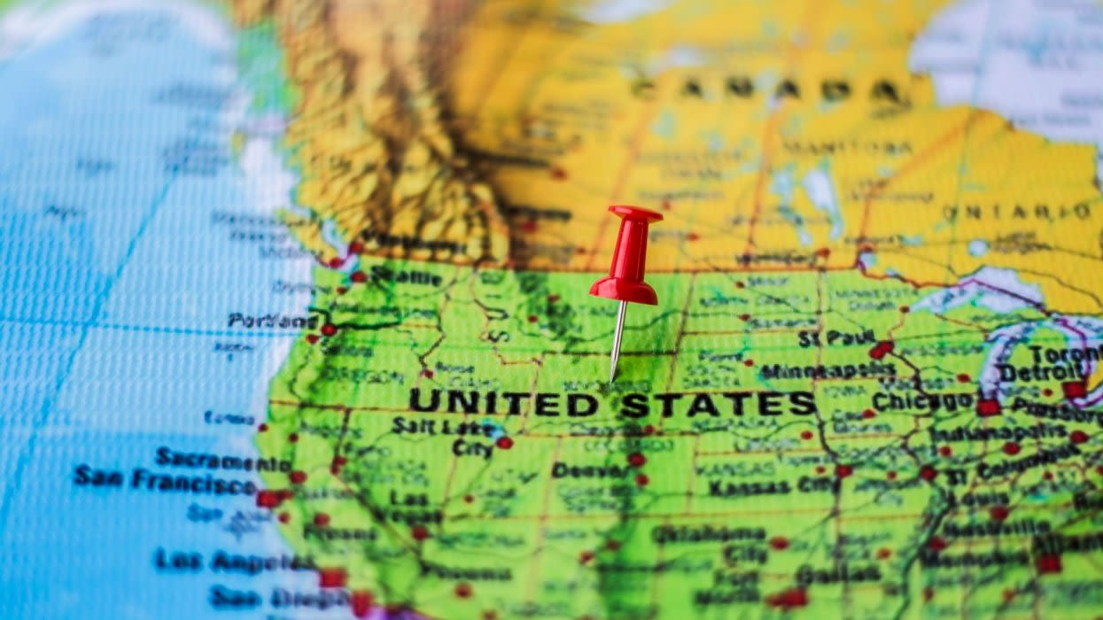
Description: state of the United States of America. Neighbors: Illinois, Minnesota, Missouri, Nebraska, South Dakota and Wisconsin. Categories: U.S. state and locality. Location: Midwest, United States, North America. View on OpenStreetMap.
Feb 5, 2024 · General Map of Iowa, United States. The detailed map shows the US state of Iowa with boundaries, the location of the state capital Des Moines, major cities and populated places, rivers and lakes, interstate highways, principal highways, and railroads.
Explore the state of Iowa with this interactive map created by a user. You can zoom in and out, search for places, and get directions. Discover the attractions, landmarks, and natural beauty of ...
Satellite Image. Iowa. on a USA Wall Map. Iowa Delorme Atlas. Iowa on Google Earth. Map of Iowa Cities: This map shows many of Iowa's important cities and most important roads. Important north - south routes include: Interstate 29 and Interstate 35. Important east - west routes include: Interstate 80 and Interstate 380.


