Search results
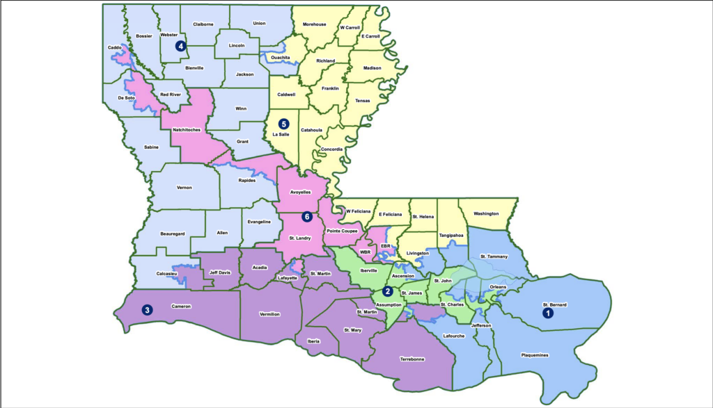
Oct 26, 2023 · This Louisiana parish map displays its 64 parishes, like East Baton Rouge, Jefferson, and Orleans. The most populated parish in Louisiana is East Baton Rouge because it includes its state capital, Baton Rouge. But the parish with the lowest population is Tensas Parish with just over 4000 people.
GIS Layer containing the best existing line work available representing the parish boundaries portraying nominal attributes for each parish.
News about Louisiana, Supreme Court, congressional map
News about Louisiana, IDEA Public Schools, segregation
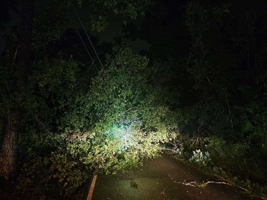
News about Entergy, Greater New Orleans, power outages
News about Louisiana, marsh restoration project, beaches
This organized the state into seven judicial districts, each consisting of groups of parishes. In 1816, the first official map of the state used the term parish, as did the 1845 constitution. Since then, the official term for Louisiana's primary civil divisions has been parishes.
Aug 6, 2022 · Louisiana Parish Map - Explore map of Louisiana Parishes showing all the 64 parishes and its seats along with the capital city.
Map of Louisiana Parishes . Advertisement. Map of Louisiana Parishes
Louisiana Parish Map: This map shows Louisiana's 64 parishes. Also available is a detailed Louisiana Parish Map with parish seat cities.
Louisiana Parishes Synopsis. The Louisiana Parishes section of the gazetteer lists the cities, towns, neighborhoods and subdivisions for each of the 64 Louisiana Parishes. Also see Louisiana Parish: ZIP Codes | Physical, Cultural & Historical Features | Census Data | Land, Farms, & Ranches.


