Search results
Map of California - Click to see large: 1242x1401 | 1600x1806 Description: This map shows governmental boundaries of countries, states boundaries, islands, lakes, the state capital, counties, county seats, cities, towns, and national parks in California.
Jan 23, 2024 · Large detailed map of California with cities and towns. This map shows cities, towns, counties, interstate highways, U.S. highways, state highways, secondary roads, national parks, national forests, state parks and airports in California. Source: www.mapmatrix.com .
2 days ago · The detailed map shows the State of California with boundaries, the location of the state capital Sacramento, major cities and populated places, rivers, and lakes, interstate highways, major highways, railroads and major airports.
May 16, 2024 · Physical map of California showing major cities, terrain, national parks, rivers, and surrounding countries with international borders and outline maps. Key facts about California.
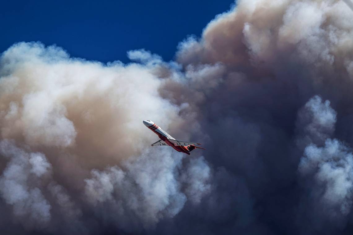
News about California, Park Fire, wildfires
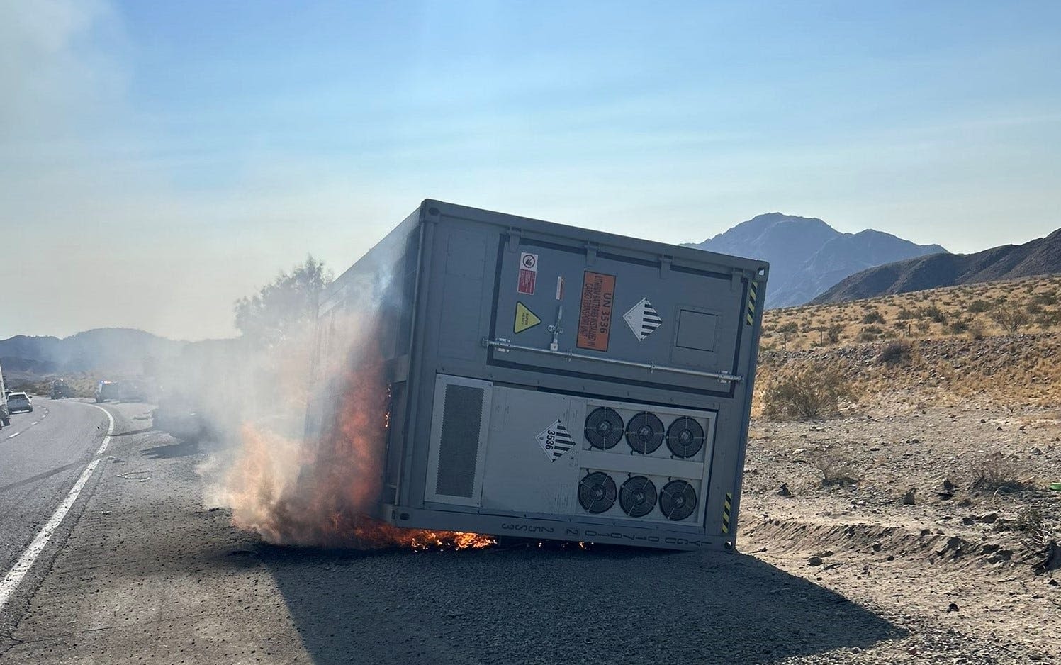
News about 15 Freeway, Interstate 15, Barstow
This map of California displays major cities and interstate highways. It includes natural features like valleys, mountains, rivers and lakes.
A map of California cities that includes interstates, US Highways and State Routes - by Geology.com.
California. One of the most diverse states in the Union, California has a culture ranging from the easygoing surf spots on the beaches of Southern California to the glamor of Hollywood, and the counterculture and thriving businesses of the Bay Area. Overview. Map. Directions.
California Map shows the state's boundary, interstate highways, and many other details. Check our high-quality collection of California Maps.
This California State Map shows major landmarks, places, and federal lands. For example, it features everything from national parks, forests, and monuments in the state of California. Just take a look at the map above and notice how it’s covered with landmarks and things to do.
California maps showing counties, roads, highways, cities, rivers, topographic features, lakes and more.


