Search results
A map of New Jersey Counties with County seats and a satellite image of New Jersey with County outlines.
6 days ago · See a county map of New Jersey on Google Maps with this free, interactive map tool. This New Jersey county map shows county borders and also has options to show county name labels, overlay city limits and townships and more. To do a county lookup by address, type the address into the “Search places” box above the map.
Below is a map of the 21 counties of New Jersey (click on the map to enlarge it and see the major city in each county). New Jersey Counties Map with cities. Interactive Map of New Jersey Counties. Click on any of the counties on the map to see its population, economic data, time zone, and zip code (the data will appear below the map ).
There are 21 counties in the U.S. state of New Jersey. These counties together contain 564 municipalities, or administrative entities composed of clearly defined territory; 252 boroughs, 52 cities, 15 towns, 241 townships, and 4 villages. [1] . In New Jersey, a county is a local level of government between the state and municipalities.
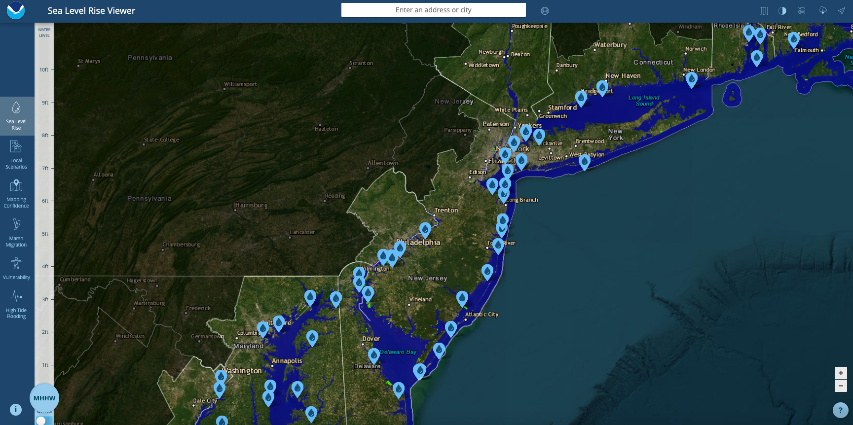
News about New Jersey, sea level rise, interactive map
News about Donald Trump, North Wildwood, teenagers
News about NJ State Police, trooper, fight
Also in the news
NJ Maps. Geologic Map of New Jersey. NJ Geographic Information Network. State and County Maps. NJ State Map.
Map of New Jersey Counties . Advertisement. Map of New Jersey Counties
May 15, 2023 · A County Map of New Jersey provides an in-depth look at the state’s 21 counties and their unique features. But the map highlights each county’s geographic boundaries, county seat, and major municipalities. It also includes information on major highways, rivers, and parks within each county.


