Search results
Open full screen to view more. This map was created by a user. Learn how to create your own. Map of all the Central Link Light Rail Stations. The northern most stop is Westlake Center. The...
Night Owl Service and Maps. The Seattle Transit Map, discover Seattle the car (e)free way.
A map of Sound Transit's Link Light Rail system at anticipated build-out of their "ST3" plan, to be voted on in 2016. Major additions to ST2 include Ballard-Downtown, Ballard-UW,...
Route map: Link light rail is a light rail rapid transit system serving the Seattle metropolitan area in the U.S. state of Washington.
Home. Plan Your Trip. Transportation. Amtrak & Rail Travel. Link Light Rail Stations. Angle Lake Link Light Rail Station. SeaTac/ Airport Link Light Rail Station. Tukwila Link Light Rail Station. Rainier Beach Link Light Rail Station. Othello Link Light Rail Station. Columbia City Link Light Rail Station. Mount Baker Link Light Rail Station.
Route map: The 1 Line, formerly Central Link, is a light rail line in Seattle, Washington, United States, and part of Sound Transit 's Link light rail system. It serves 19 stations in the cities of Seattle, SeaTac, and Tukwila, traveling nearly 25 miles (40 km) between Northgate and Angle Lake stations.
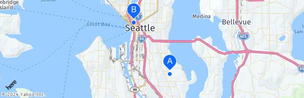
A map of stations on the 1 Line, which runs between Angle Lake and Northgate in the Seattle area. The Link light rail system serves the Seattle metropolitan area in the U.S. state of Washington and is operated by Sound Transit.