Search results
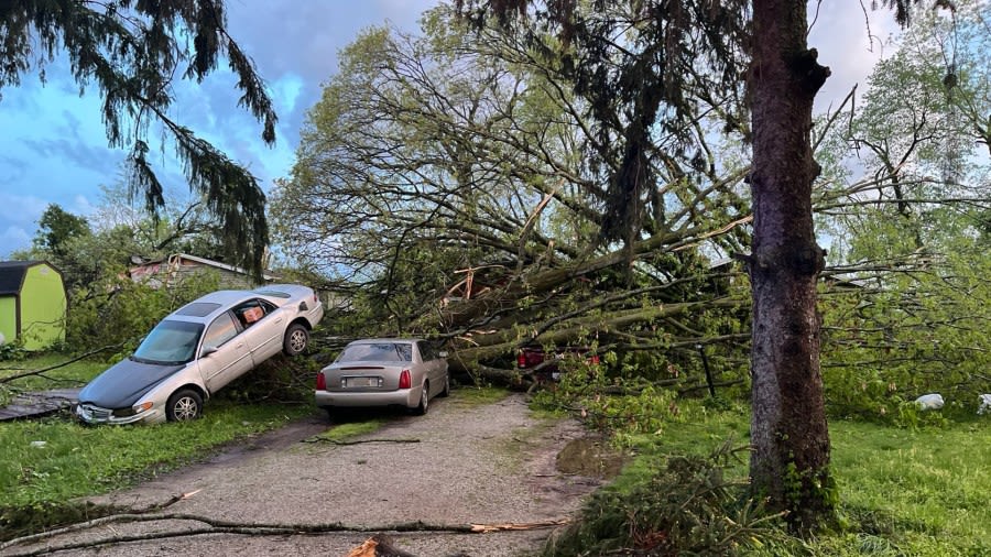
News about Michigan, severe thunderstorms, morel mushrooms
News about Kalamazoo County, tornado, Portage
Also in the news
Find the location, population, and motto of Michigan, a state in the United States with two peninsulas and four Great Lakes. Explore the attractions of Mackinac Island, the auto industry hub, and the largest cities in Michigan.
- mailto:help@mapquest.com
- What is the capital of Michigan?The capital of Michigan is Lansing .
- What time zone is Michigan in?Michigan is in the Eastern Time Zone and Central Time Zone.
- What is the state motto of Michigan?The motto of Michigan is "If You Seek A Pleasant Peninsula, Look About You".
- What is the population of Michigan?According to the US Census, the 2021 state population of Michigan is 10,050,811.
Jan 24, 2024 · A map of Michigan with states boundaries, capital, counties, cities, towns, islands, lakes and national parks. Download, print or use the map for educational, personal and non-commercial purposes. Attribution is required. See more maps of Michigan and its regions.
Michigan is an American state in the upper Midwest and the heart of the Great Lakes region. Mapcarta, the open map.
Find local businesses, view maps and get driving directions in Google Maps.
Jan 23, 2024 · Find various features and locations in Michigan on this map, such as highways, rivers, lakes, airports, national parks and more. You can download, print or use the map for educational, personal and non-commercial purposes.
Find the locations and names of Michigan cities and highways with populations over 10,000, interstate highways, and state routes. See satellite images, Delorme atlas, and Google Earth maps of Michigan cities and roads.
The detailed map shows the US state of Michigan with boundaries, the location of the state capital Lansing, major cities and populated places, rivers and lakes, interstate highways, principal highways, railroads and major airports.


