Search results
There are 83 counties in the U.S. state of Michigan . List of counties. ↑ In modern standard French, la grande traversée; as the sense of 'crossing' is obsolete for traverse. [2] Former counties. Brown County: formed in 1818 from unorganized territory. Given to Wisconsin Territory in 1836 and continues as Brown County, Wisconsin.
3 days ago · See a county map of Michigan on Google Maps with this free, interactive map tool. This Michigan county map shows county borders and also has options to show county name labels, overlay city limits and townships and more. To do a county lookup by address, type the address into the “Search places” box above the map.
News about Michigan, Notre Dame, NCAA Tournament
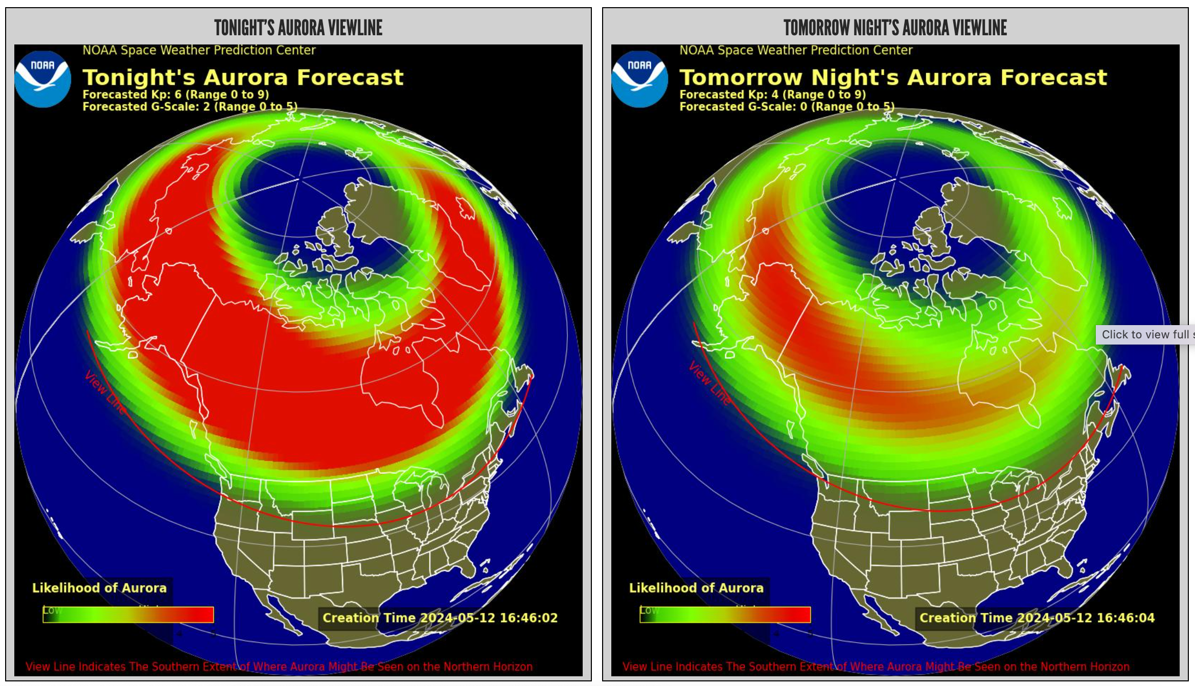
News about Michigan, northern lights, dark sky parks
News about Brian Lewerke, Michigan Panthers, Michigan State
Also in the news
There are 83 counties in the U.S. state of Michigan. The boundaries of these counties have not changed substantially since 1897. However, throughout the 19th century, the state legislature frequently adjusted county boundaries.
Interactive Map of Michigan Counties. Click on any of the counties on the map to see its population, economic data, time zone, and zip code (the data will appear below the map ). Data is sourced from the US Census 2021.
Michigan Counties Synopsis. The Michigan Counties section of the gazetteer lists the cities, towns, neighborhoods and subdivisions for each of the 83 Michigan Counties. Also see Michigan County: ZIP Codes | Physical, Cultural & Historical Features | Census Data | Land, Farms, & Ranches.
Explore Michigan's counties with this interactive map that shows their names, locations, and histories. Learn more about the state's geography and culture.
- geology.com
- › US Maps
Michigan County Map: This map shows Michigan's 83 counties. Also available is a detailed Michigan County Map with county seat cities.


