Search results
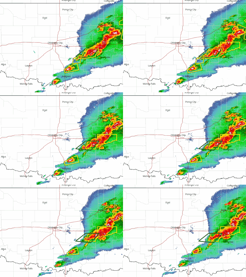
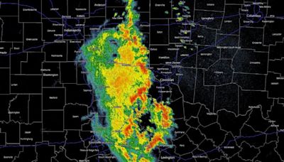
See the latest United States Doppler radar weather map including areas of rain, snow and ice. Our interactive map allows you to see the local & national weather.
Jan 21, 2010 · Air Quality. Satellite. Climate. To view local information, select area of interest and click on the image below. High Resolution Version | Legend | About These Maps | Animated Forecast Maps. Alaska Maps | Pacific Islands Map | Ocean Maps | Previous Days Weather Maps. 12 Hour.
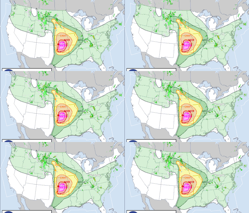
Surface Weather Observed Precip. Text Bulletins. By State By Type National: Forecasts. Local Graphical Aviation Marine River/Stream Hurricanes Severe Weather Fire Weather Sun/Moon. Forecast Models. Numerical Models Statistical Models MOS Prod GFS-LAMP Prod Current Forecast Maps Fronts/Precipitation Maps
Radar. Satellite. Fronts. Severe Tropical Storms. Wildfires. Weather Underground’s WunderMap provides interactive weather and radar Maps for weather conditions for locations worldwide.
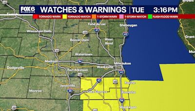
FORECAST MAPS. RADAR. RIVERS, LAKES, RAINFALL. AIR QUALITY. SATELLITE. PAST WEATHER. American Samoa Guam Puerto Rico/Virgin Islands. Click on the map above for detailed alerts or. Public Alerts in XML/CAP v1.2 and ATOM Formats. Created: 05/04/24 at 9:10 pm UTC. Tornado Warning. Severe Thunderstorm Warning. Flash Flood Warning.
See the latest United States RealVue™ weather satellite map, showing a realistic view of United States from space, as taken from weather satellites. The interactive map makes it easy to...
The NWS Radar site displays the radar on a map along with forecast and alerts. The radar products are also available as OGC compliant services to use in your application. Enhanced Radar. Standard Radar (Low-Bandwidth) Support. Review the Radar FAQ for help with the transition to the new site. Contact the helpdesk for operational issues.


