Search results
See the latest United States Doppler radar weather map including areas of rain, snow and ice. Our interactive map allows you to see the local & national weather.
FORECAST MAPS. RADAR. RIVERS, LAKES, RAINFALL. AIR QUALITY. SATELLITE. PAST WEATHER. American Samoa Guam Puerto Rico/Virgin Islands. Click on the map above for detailed alerts or. Public Alerts in XML/CAP v1.2 and ATOM Formats.
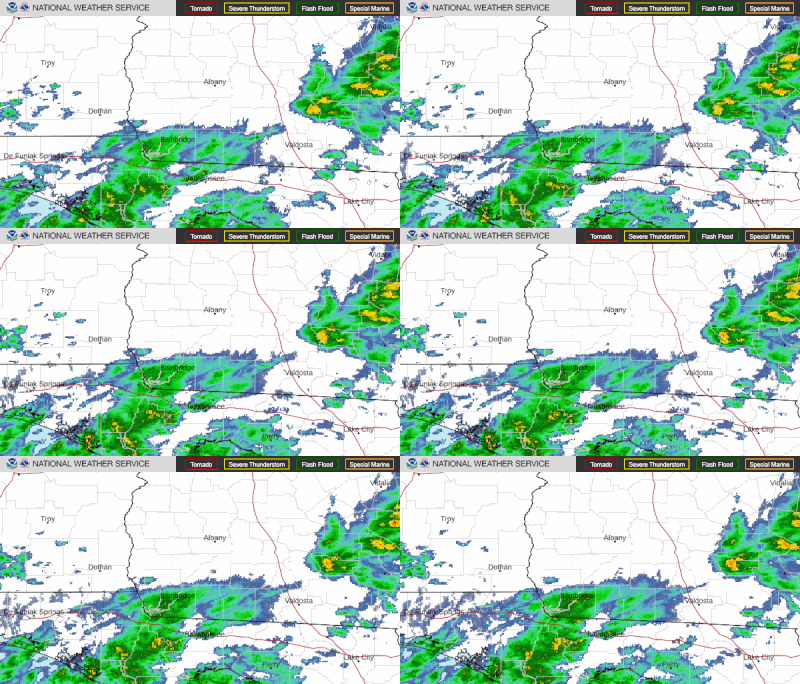
The Current Radar map shows areas of current precipitation. A weather radar is used to locate precipitation, calculate its motion, estimate its type (rain, snow, hail, etc.), and forecast...
Radar Satellite Snow Cover Marine River/Stream Surface Weather Observed Precip. Text Bulletins. By State By Type National: Forecasts. Local Graphical Aviation Marine River/Stream Hurricanes Severe Weather Fire Weather Sun/Moon. Forecast Models. Numerical Models Statistical Models MOS Prod GFS-LAMP Prod
Dec 17, 2020 · On the new page, radar data can be layered with National Weather Service watches, warnings and forecasts and is presented on a dynamic map that allows zooming and panning. And we also provide radar images more frequently and at four times higher resolution than before. Weather radar can track rain and snow, and see potential for flash flooding.
You can get your local forecast and current weather conditions. In addition you can look at local radar, satellite, river gage information and if appropriate marine information. How do I change my location?
Air Quality. Satellite. Climate. Go To Region. Click On Map Below To Zoom In. Alaska · Hawaii · Guam · Puerto Rico/Virgin Islands. Mouse over or click on the times below to change the above graphic. Max/Min Temp: | Tonight | Fri | Fri Night | Sat | Sat Night | Sun | Sun Night |. Additional Graphical Forecast Elements:
