Search results
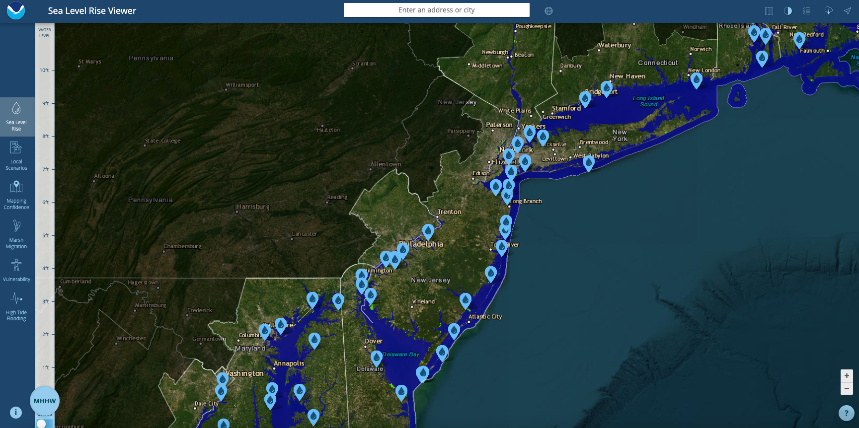
News about sea level rise, New Jersey, interactive map
News about NJ State Police, construction site, trooper
News about New Jersey, supermarkets, heat
Also in the news
NJ Maps. Geologic Map of New Jersey. NJ Geographic Information Network. State and County Maps. NJ State Map.
This is a generalized topographic map of New Jersey. It shows elevation trends across the state. Detailed topographic maps and aerial photos of New Jersey are available in the Geology.com store. See our state high points map to learn about High Point at 1,803 feet - the highest point in New Jersey.
A map of New Jersey cities that includes interstates, US Highways and State Routes - by Geology.com
Coordinates: 40.0°N 74.5°W. New Jersey is a state situated within both the Mid-Atlantic and Northeastern regions of the United States. It is the most densely populated of all 50 U.S. states, and is situated at the center of the Northeast megalopolis.
Jan 23, 2024 · Large detailed tourist map of New Jersey with cities and towns. This map shows cities, towns, counties, interstate highways, U.S. highways, state highways, main roads, secondary roads, rivers, lakes, airports, state forests, state parks, scenic byways, points of interest, historic sites, ferry lines, lighthouses and winter sports areas in New ...
New Jersey is a state in the Mid-Atlantic region of the United States. It is the most densely populated state in the US; heavily urban, suburban and industrialized. Map. Directions.
Oct 26, 2023 · Trenton. Major cities and towns. Jersey City. Newark. Paterson. Trenton. Elizabeth. Atlantic City. Camden. Long Branch. Millville. Vineland. Lakewood. New Brunswick.


