Search results
News about New York, Donald Trump, federal judges
News about New York City, I-95, rain showers
Also in the news
Feb 14, 2023 · Physical map of New York showing major cities, terrain, national parks, rivers, and surrounding countries with international borders and outline maps. Key facts about New York.
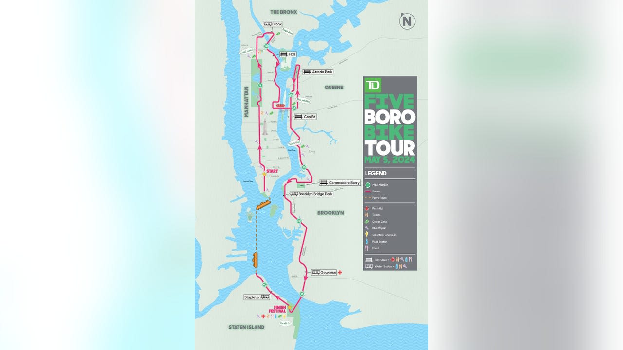
Below is a list of the 12 maps of New York you’ll find in this article. You can print them out or save them on your smartphone so you can check them at any time. New York tourist map; New York interactive map; Manhattan map; Map of the main attractions in New York; Central Park map; New York street map; New York neighborhood map; New York ...
This is a generalized topographic map of New York. It shows elevation trends across the state. Detailed topographic maps and aerial photos of New York are available in the Geology.com store. See our state high points map to learn about Mt. Marcy at 5,344 feet - the highest point in New York.
Categories: global city, port settlement, city in the United States, big city, largest city, city in the state of New York, metropolis, megacity and locality. Location: Downstate New York, New York, Mid-Atlantic, United States, North America. View on OpenStreetMap. Latitude.
New York map with all the city’s monuments, museums and attractions. Plan your trip with our New York interactive map.
New York Map. New York Map. Sign in. Open full screen to view more. This map was created by a user. Learn how to create your own. ...
Of course everyone knows the Big Apple, New York City, and it's certainly a premier travel destination, but the state is so much more than just one famous metropolis. Overview. Map. Directions. Satellite.


