Search results
Oklahoma City is the capital and principal city of the state of Oklahoma in the central Frontier Country region of the state. The sprawling city and its suburbs offer multiple sports venues, museums, regional food, and a mix of Native American and cowboy culture. Map. Directions. Satellite.
- Cidade De Oklahoma
Oklahoma City é a capital e cidade mais populosa do estado...
- Ville d'Oklahoma
Oklahoma City Oklahoma City est une ville américaine,...
- Oklahoma City Karte
Oklahoma City ist die Hauptstadt des US-amerikanischen...
- Northeast Oklahoma City
Northeast Oklahoma City The Northeast district of Oklahoma...
- Greater Oklahoma City
Greater Oklahoma City Map - Frontier Country, Oklahoma, USA....
- Oklahoma City National Memorial
The Oklahoma City National Memorial is a memorial in the...
- Bethany
Bethany has about 19,600 residents. Mapcarta, the open map....
- Edmond
Edmond Edmond is a city in Oklahoma County, Oklahoma, United...
- Paycom Center
Paycom Center Paycom Center is an arena located in Downtown...
- Cidade De Oklahoma
Oklahoma City Map. Oklahoma City is the capital and the largest city in the state of Oklahoma. The county seat of Oklahoma County, the city ranks 31st among United States cities in population. The city's population, from the 2010 census, was 580,000, with an estimated metro-area population of 1,252,987. In 2010, the Oklahoma City-Shawnee ...
- Oklahoma City
- mailto:help@mapquest.com
- USA TODAY via Yahoo
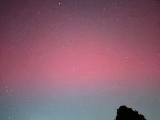
What's your chance of seeing the northern lights tonight? A look at Saturday's forecast
Northern lights forecast path If you want to get a better idea of if you will be able to see the northern lights from your state, check NOAA's aurora forecast tool, which has a 30-minute forecast ...
13 hours ago
- Gannett via Yahoo
How Oklahoma's zoning laws are contributing to the state's housing crisis
The state has space to accommodate the thousands of families that need affordable housing. Oklahoma City is the sixth-fastest-growing city in the country, according to the 2023 U.S. Census, ...
6 days ago
Dec 22, 2023 · Large detailed map of Oklahoma City. This map shows streets, main roads, secondary roads, rivers, buildings, hospitals, parking lots, shops, churches, stadiums, railways, railway stations and parks in Oklahoma City. Source: Map based on the free editable OSM map www.openstreetmap.org .
Dec 22, 2023 · Large detailed map of Oklahoma City. 4759x3831px / 6.62 Mb Go to Map. Oklahoma City downtown map. 1212x1413px / 526 Kb Go to Map. Oklahoma City road map. 2037x2550px / 2.07 Mb Go to Map. Oklahoma City Zoo map. 2330x1376px / 1.57 Mb Go to Map.
Greater Oklahoma City Map - Frontier Country, Oklahoma, USA. USA. Great Plains. Oklahoma. Frontier Country. Greater Oklahoma City is in the Frontier Country region of Oklahoma and includes Oklahoma City as well as the surrounding towns, cities and suburbs. Wikivoyage. Wikipedia. Photo: Wikimedia, CC0.
Jan 18, 2024 · Located near the state’s center, along the North Canadian River is Oklahoma City – the capital and the largest city in Oklahoma. It hosts one of the largest livestock markets in the world. Where is Oklahoma? The State of Oklahoma is located in the South-central region of the United States.


