Search results
Downtown San Diego is the thriving central business district of San Diego. Mapcarta, the open map.
News about San Diego, Fraser Plumbing Inc., California
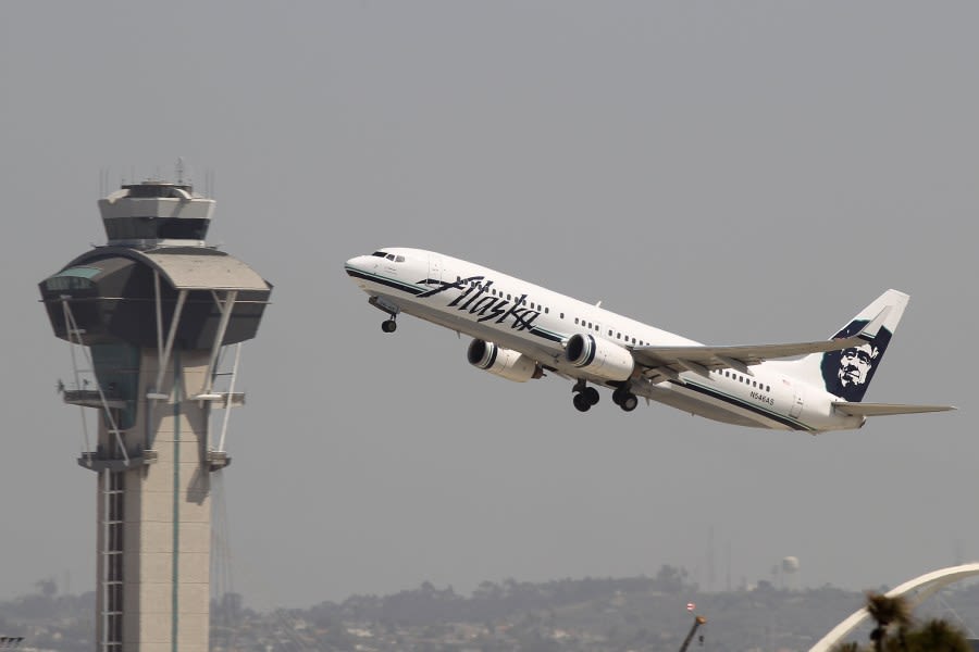
News about California, Alaska Airlines, rain
Also in the news
San Diego Map. San Diego is the eighth-largest city in the United States and second-largest city in California. The city is located on the coast of the Pacific Ocean in Southern California, immediately adjacent to the Mexican border.
Find local businesses, view maps and get driving directions in Google Maps.
The page shows a city map of San Diego with expressways, main roads and streets, San Diego International Airport ( IATA code: SAN) is located about 3 mi (4.8 km) northwest of the central business district. To find a location use the form below. To view just the map, click on the "Map" button.
Dec 22, 2023 · Click to see large. Description: This map shows streets, roads, rivers, houses, buildings, hospitals, parking lots, shops, churches, stadiums, railways, railway stations, gardens, forests and parks in San Diego. Author: Ontheworldmap.com. Source: Map based on the free editable OSM map www.openstreetmap.org . Maps of San Diego:
Map of San Diego area, showing travelers where the best hotels and attractions are located.
Coordinates: San Diego ( / ˌsæn diˈeɪɡoʊ / ⓘ SAN dee-AY-goh, Spanish: [san ˈdjeɣo]) is a city on the Pacific Ocean coast in Southern California located immediately adjacent to the Mexico–United States border.

