Search results
News about San Diego County, California-Mexico border, California
News about Aaron Russell, San Diego, Nicholas Bils
Also in the news
- mapcarta.com
- › …
- › Southern California
- › San Diego County
Situated on the Southern California seacoast, San Diego is the second largest city in the state, with 1.4 million residents, and has long attracted travelers for its ideal climate, miles of beaches, and location on the Mexican border right across from Tijuana. Overview. Map. Directions. Satellite.
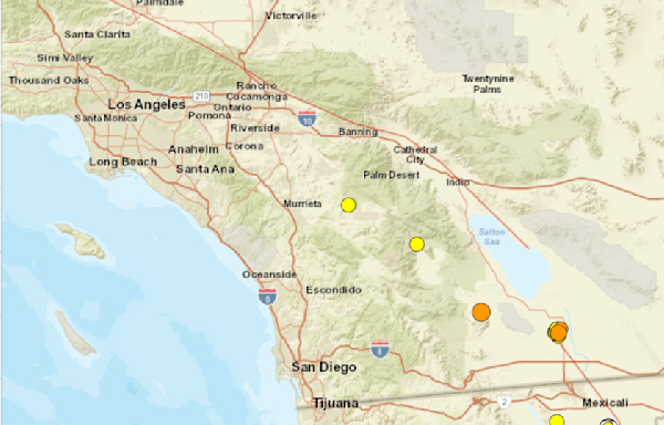
ArcGIS Online Item Details. This map presents a tour of San Diego County, California using the detailed map of the County included in the community basemap. San Diego County is located in the southwest corner of California and the continental United States.
You are using a browser that is no longer supported. Please use the latest version of Google Chrome, Mozilla Firefox, Apple Safari, or Microsoft Edge.
Our interactive map contains over 33 layers covering features such as property (parcels), roads, district and municipal boundaries, and districts including schools, fire protection, cemetery and transit. Other layers include floodplains, water quality sensitive areas, MHPA, soils, vegetation and land use.
- www.maphill.com
- › Search Maps
- › Maps: San Diego County
Detailed Road Map of San Diego County. This page shows the location of San Diego County, CA, USA on a detailed road map. Choose from several map styles. From street and road map to high-resolution satellite imagery of San Diego County. Get free map for your website.
It’s bordered by Riverside and Orange counties to the north, Imperial County to the east, the Pacific Ocean to the west, and Mexico to the south. The biggest city in San Diego County is San...
- www.maphill.com
- › North America
- › United States
- › California
3D. Perspective view at an elevation angle of 60°. Panoramic. View of the landscape at an angle of 30°. The most panoramic view. Location. Combination of a map and a globe to show the location. Simple. Colored outline maps. Many color schemes to choose from. Detailed maps of San Diego County.


